Columbia Basin
I remember the first time I saw the steeps of Columbia when we drove to Yellowstone avoiding the main highway - it was amazing! The coastal mountains familiar to us were replaced by fields, and suddenly out of nowhere steep cliffs with orderly rows of basalt pillars grew around something that, with a stretch, could be called a canyon several kilometers wide. A few minutes - and again there are only fields around. Then I said, “Wow, what was that?! We will definitely need to come back here!” However, around the same time in Wuhan, a Chinese man was going to the market to buy some rice and a couple of bats, and then you know. Well, while this and that, yes, a pandemic, I came across a documentary on one of the streaming services about the Missoula flood - one of the largest known in the history of the planet - in which I was surprised to recognize familiar places. Therefore, as soon as the borders were opened, one of the first trips to the States, of course, was to the Columbia River Basin, and not just like that, but to understand and tell how much of Washington and Oregon was formed. So inquisitive ones - read and understand, everyone else - look at the pictures and do not miss the video above. Go.
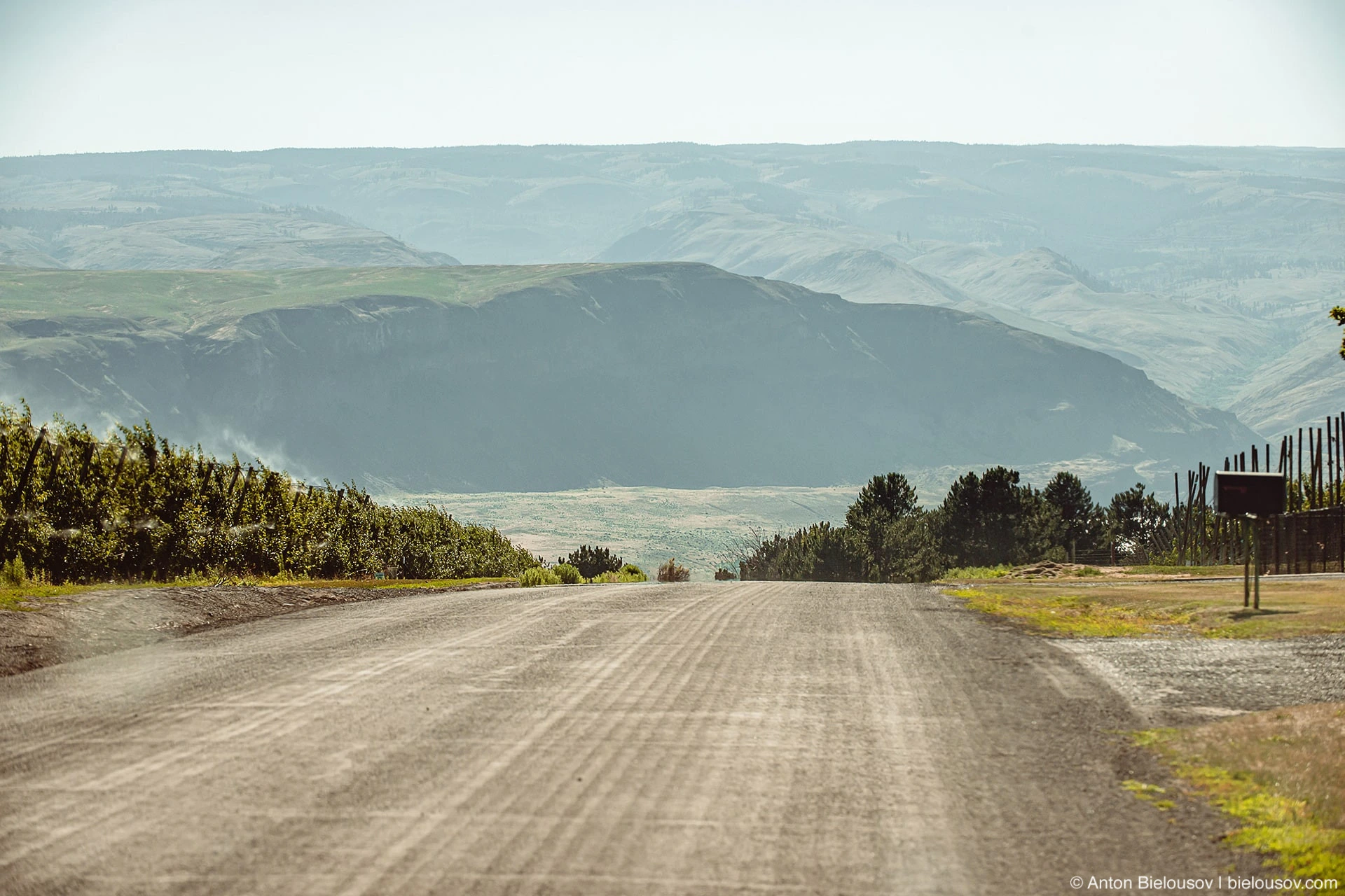
In general, we are talking about the geology of the Pacific Northwest of America, you need to remember one important thing - back in the days of dinosaurs, and after their extinction, everything west of Calgary was the seabed, and Vancouver Island was from all this something like Hawaii today. That's why we have so many marine fossils. In addition to the rise of the land in the region of 50 million years ago, here, on the territory of present-day central Washington, 3 large-scale events occurred that determined the current appearance of the state: Firstly, 14 - 17 million years ago, volcanic activity erupted here, the remnants of which today we know as Yellowstone . Only instead of explosive eruptions, lava flows slowly surfaced and flowed - solidifying and layering on top of each other, as it happens in Hawaii today, only thousands of times stronger. frozen,2 and occupying 1/3 of the entire state of Washington.
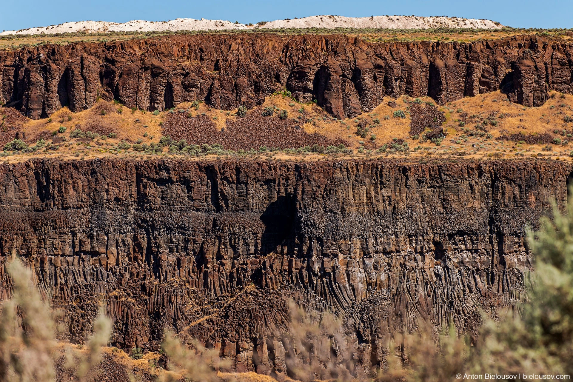
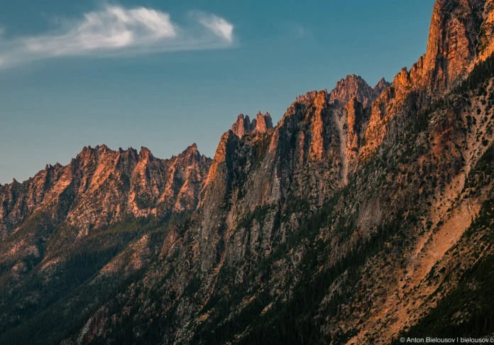
Frenchman Coulee Secondly, 4-5 million years ago, the Cascade Mountains in the west rose and blocked the path of moist ocean air - this is how an arid desert climate formed here.
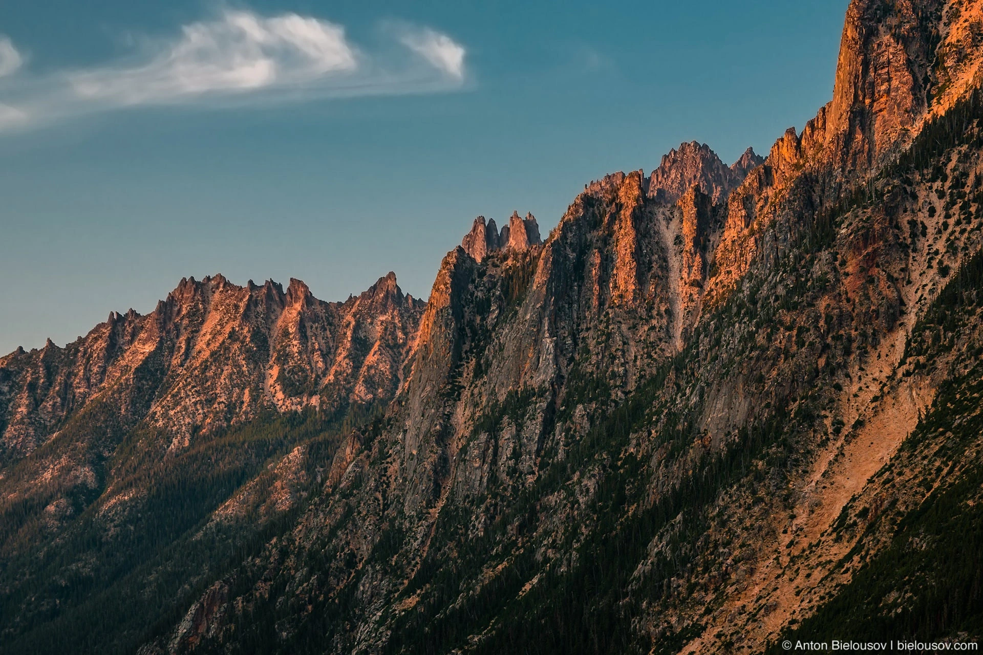
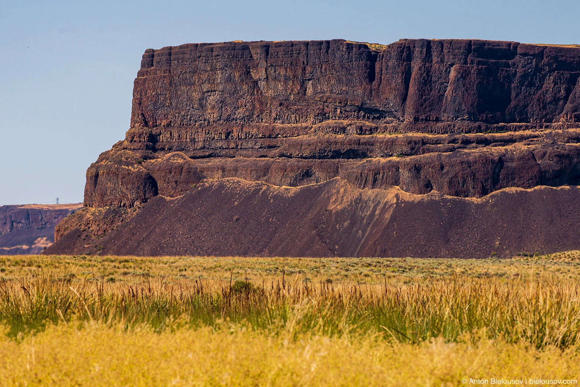
And, finally, quite recently, 13 - 19 thousand years ago, during the last ice age, due to the periodic melting of ice dams, at least 40 catastrophic floods occurred, caused by periodic floods of the Missoula glacial lake (on the territory of modern Montana), the largest of them which were tens of thousands of times more powerful than any of the modern floods. So there were numerous branched wide channels and canyons (English, coulee) with flat tops, deeply cutting into basalt deposits. And the whole region, which today is called the Channeled Scablands.
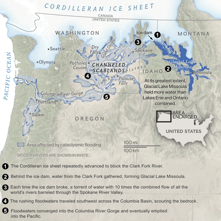
ROSEMARY WARDLEY, NG STAFF SOURCES: USGS; ATLAS OF OREGON [NATIONAL GREOGRAPHIC] Actually, this is how fire and water turned out to be central Washington, as we can see it today.
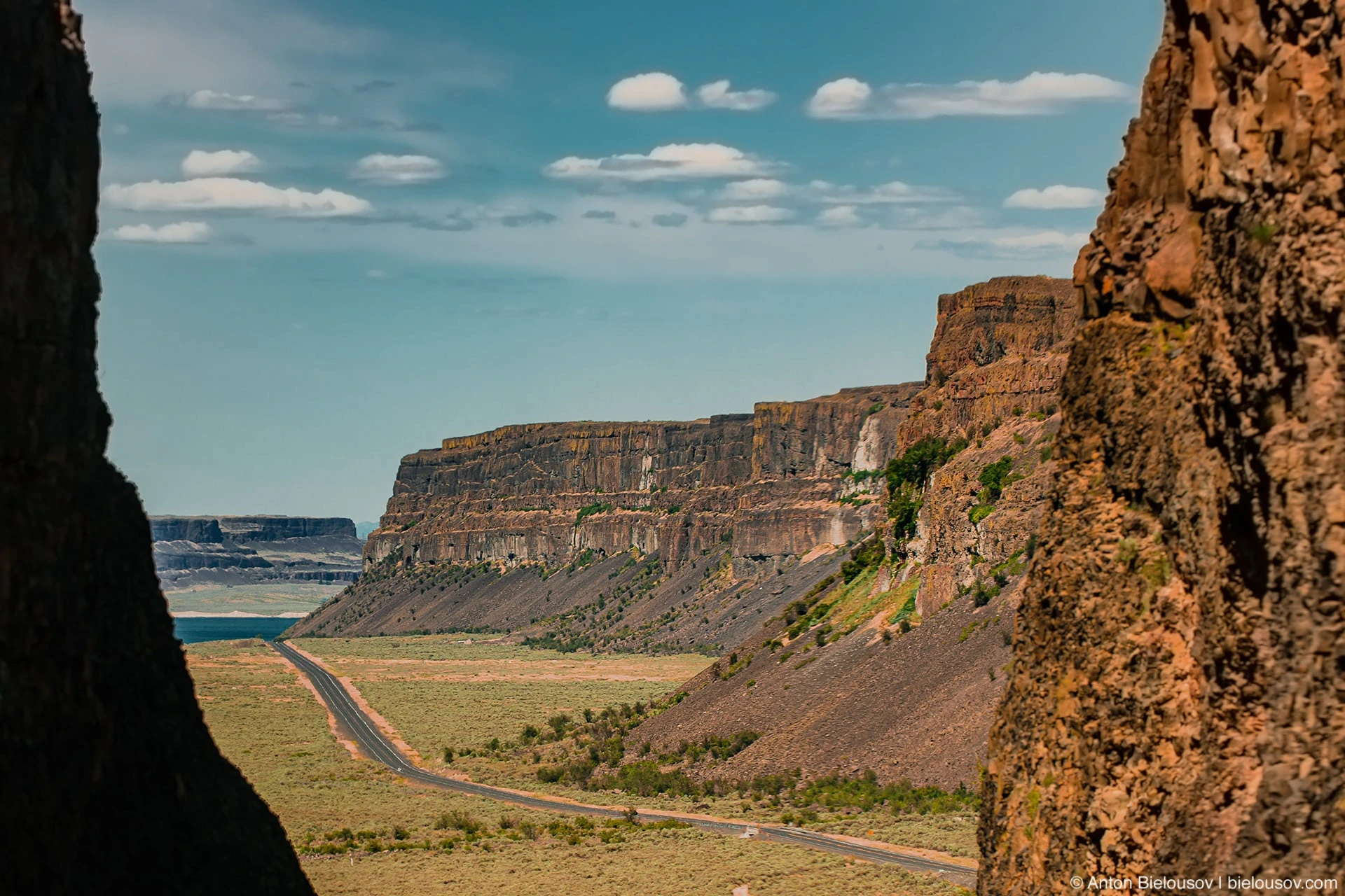
Highway 155 You don't have to travel far to see the basalt pillars - the nearest ones are on Baker. But here in central Washington, you don’t need to leave the road at all - the main thing is to go not across, but, as it were, along - from north to south or vice versa, approximately from the Canadian Okanagan and all the way to the state line.
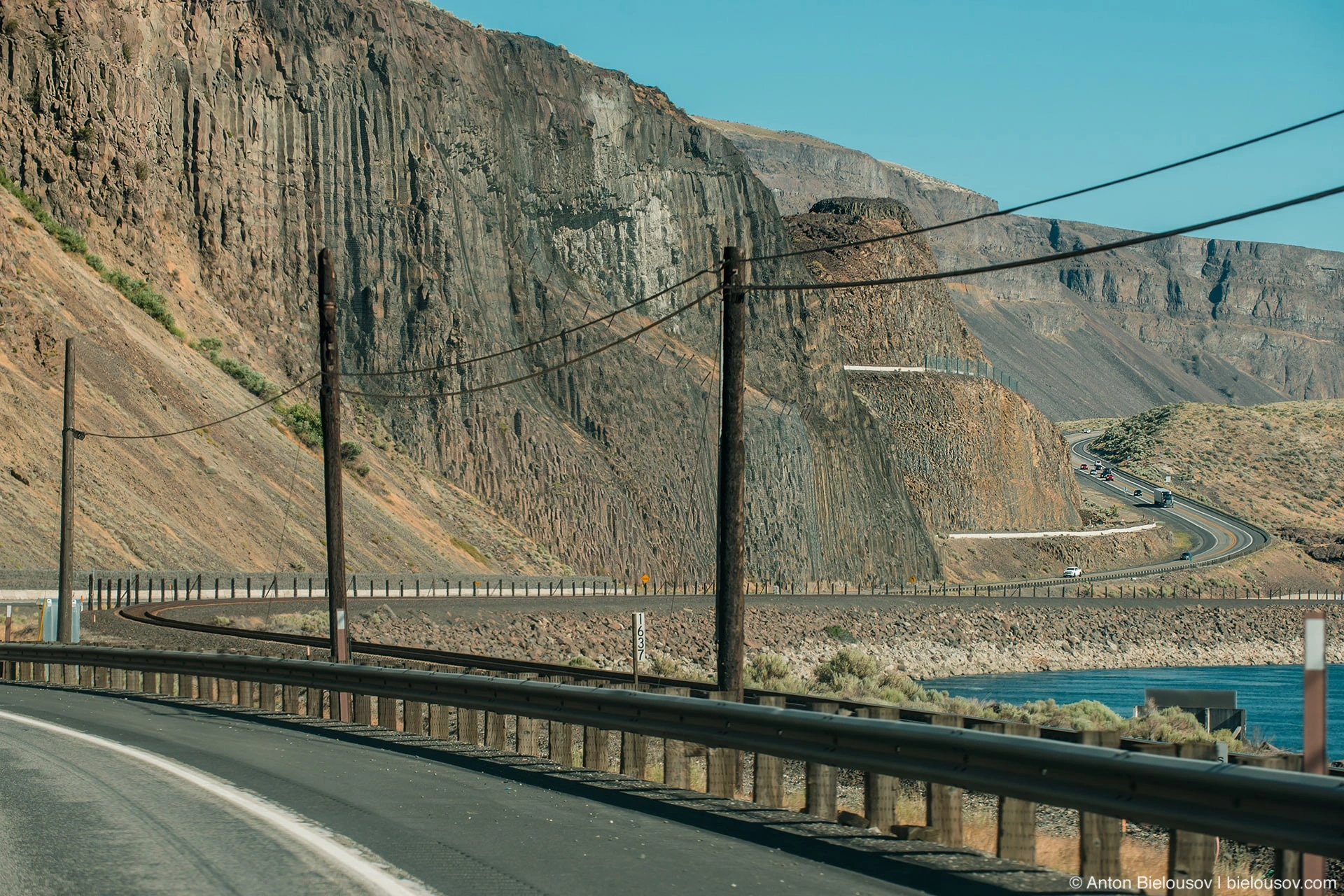
Highway 28 Whereas modern-day Hawaii lava flows are no more than a meter thick, here each layer is 30 to 60 meters thick.
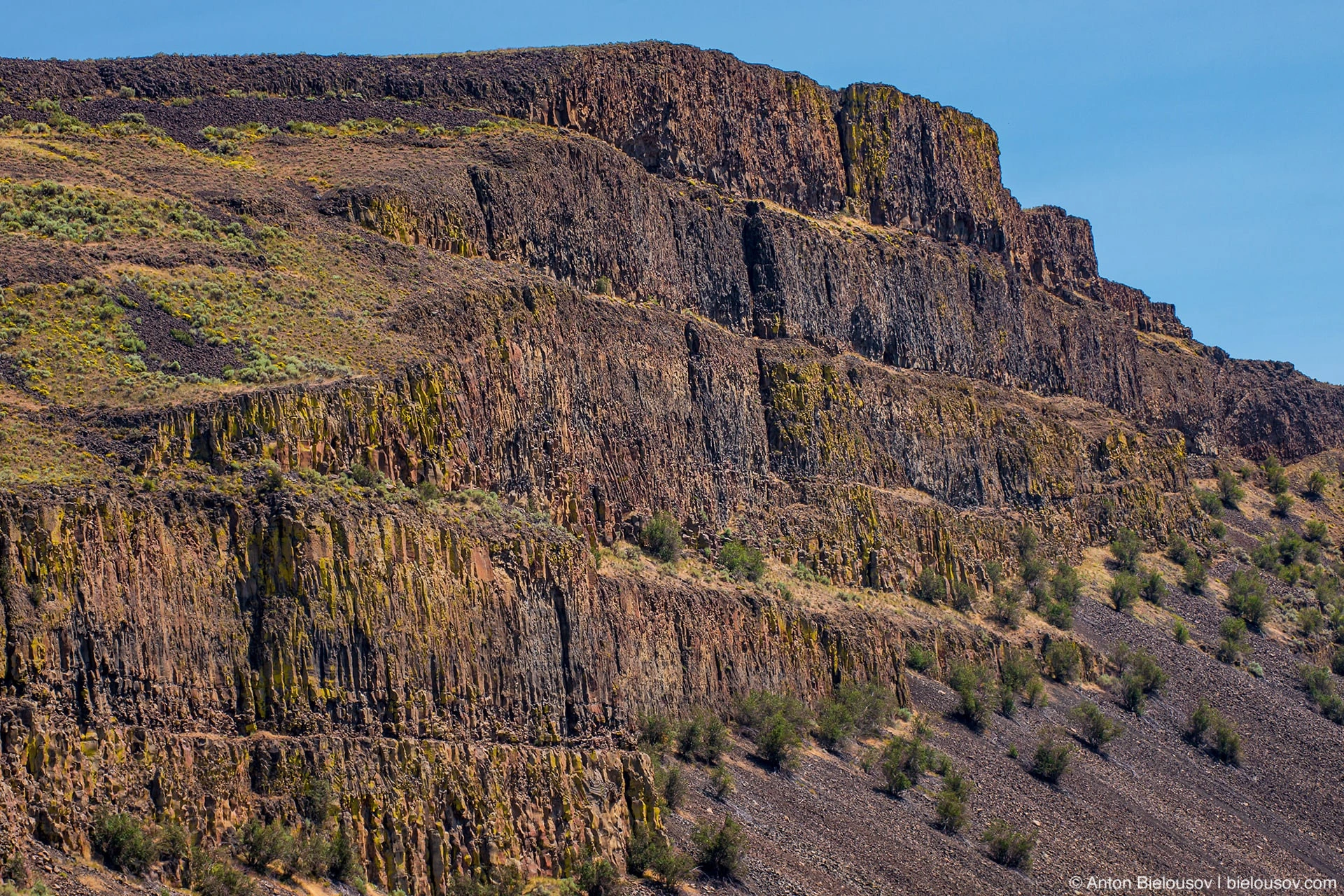
Moses Coulee It is believed that they covered more than 500 km from the point of exit to the surface and they needed up to 5 - 10 years to freeze to their full depth.
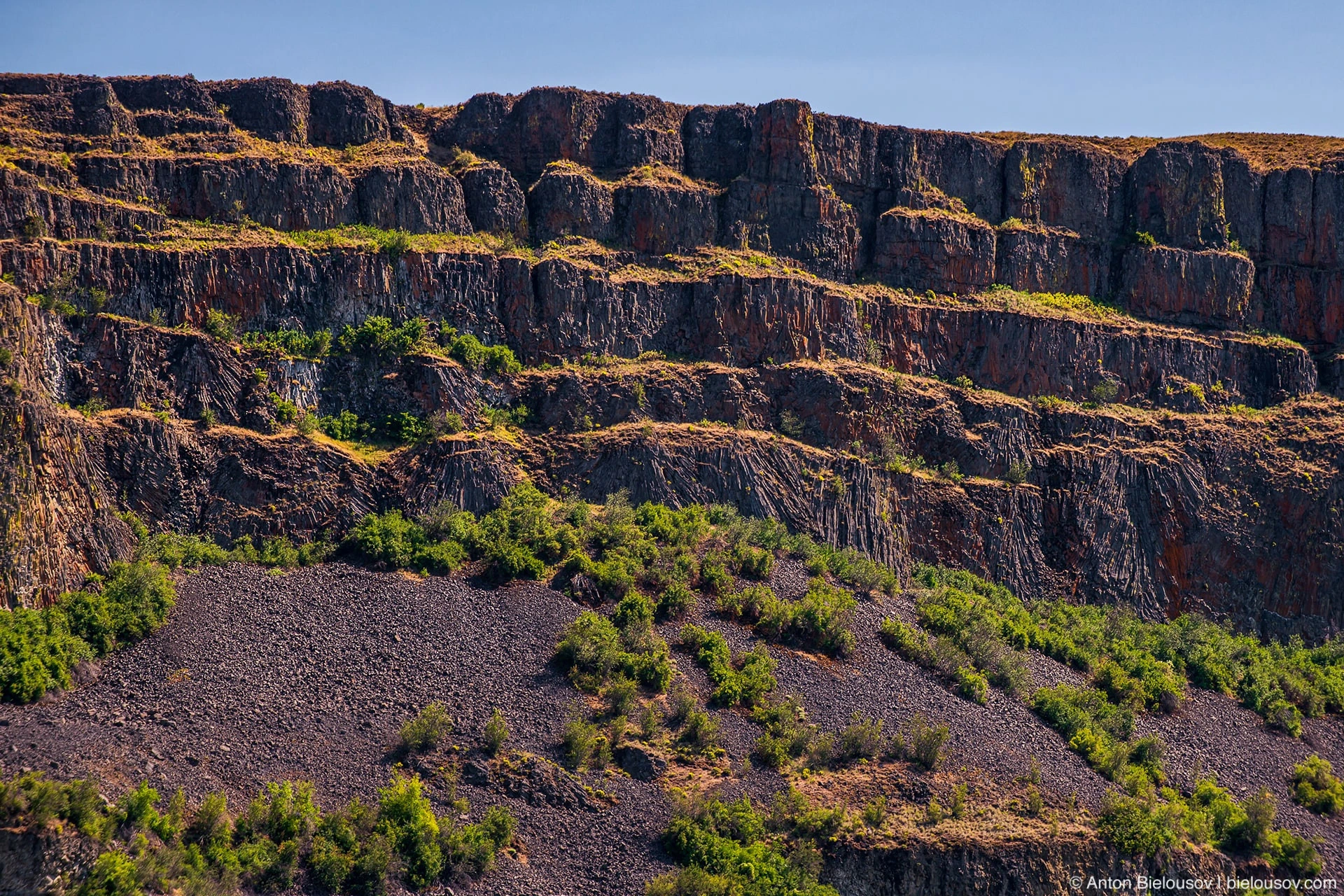
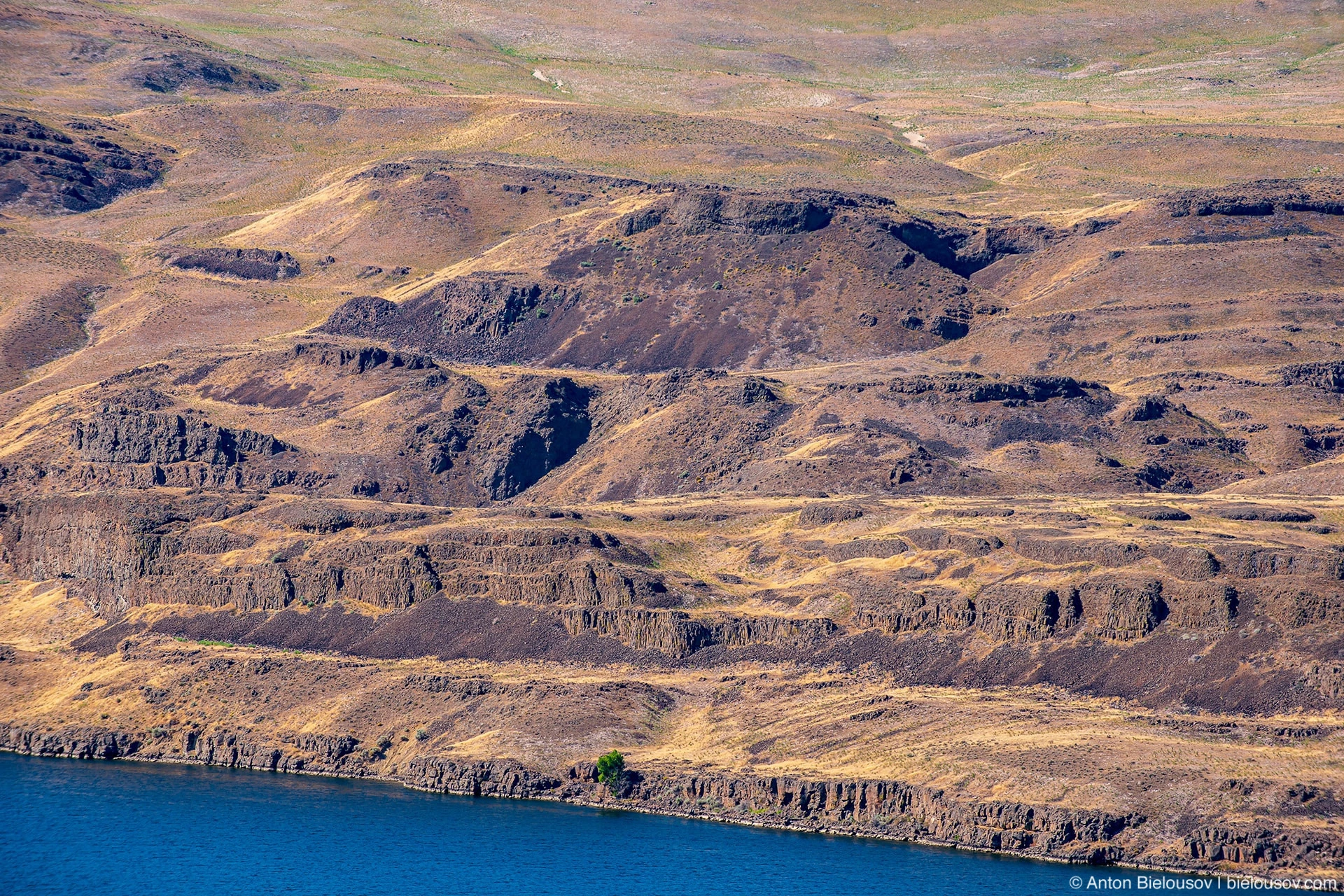
Banks Lake There are several hundred such layers on top of each other, and all this beauty goes 3 km deep. As in the case of icebergs, we only see their tip, and that is largely due to the Missoula flood, which washed out wide canyons in them. And relatively thick layers of sedimentary rock of non-volcanic origin between the layers indicates that a lot of time could pass between eruptions - enough for the formation of soil.
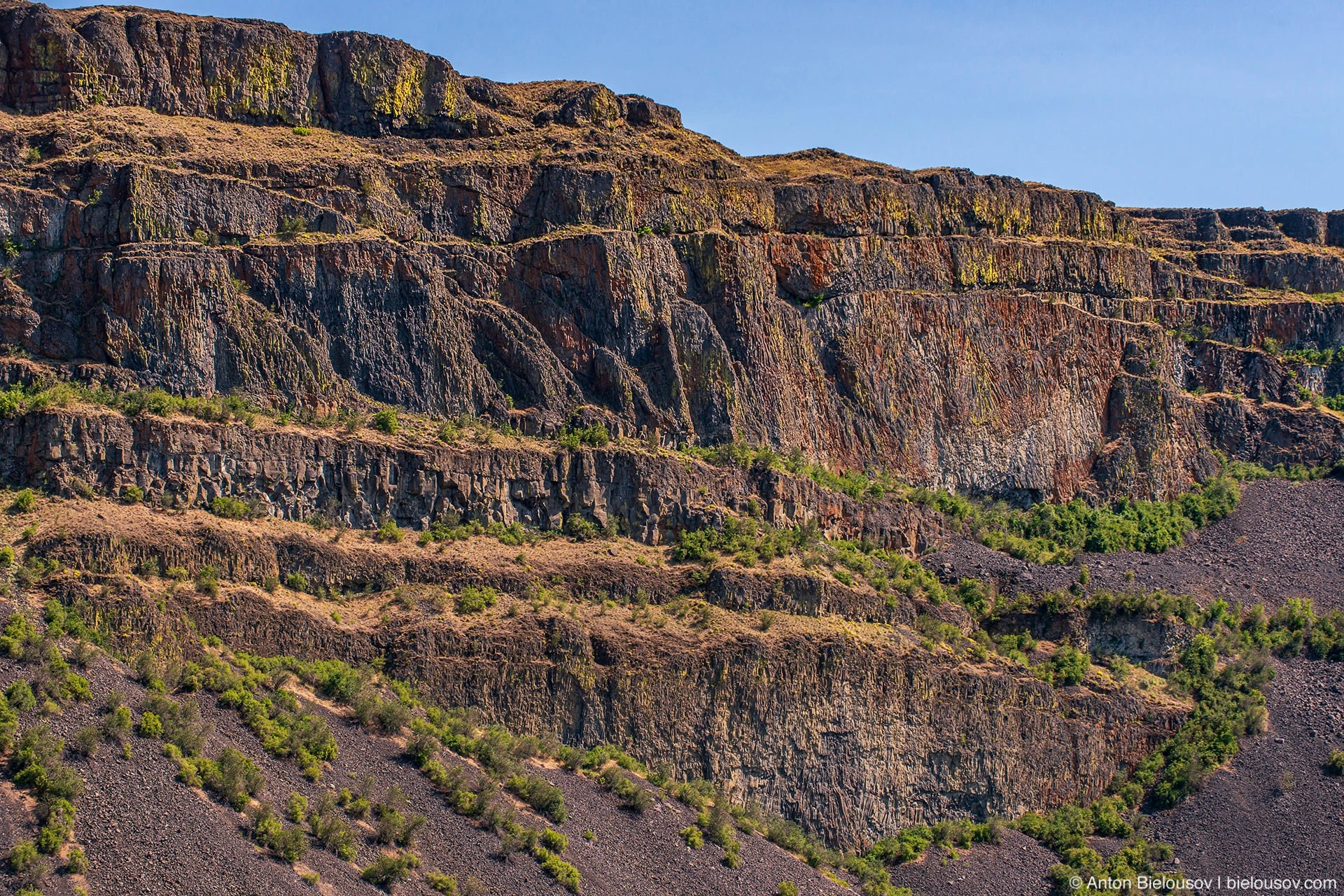
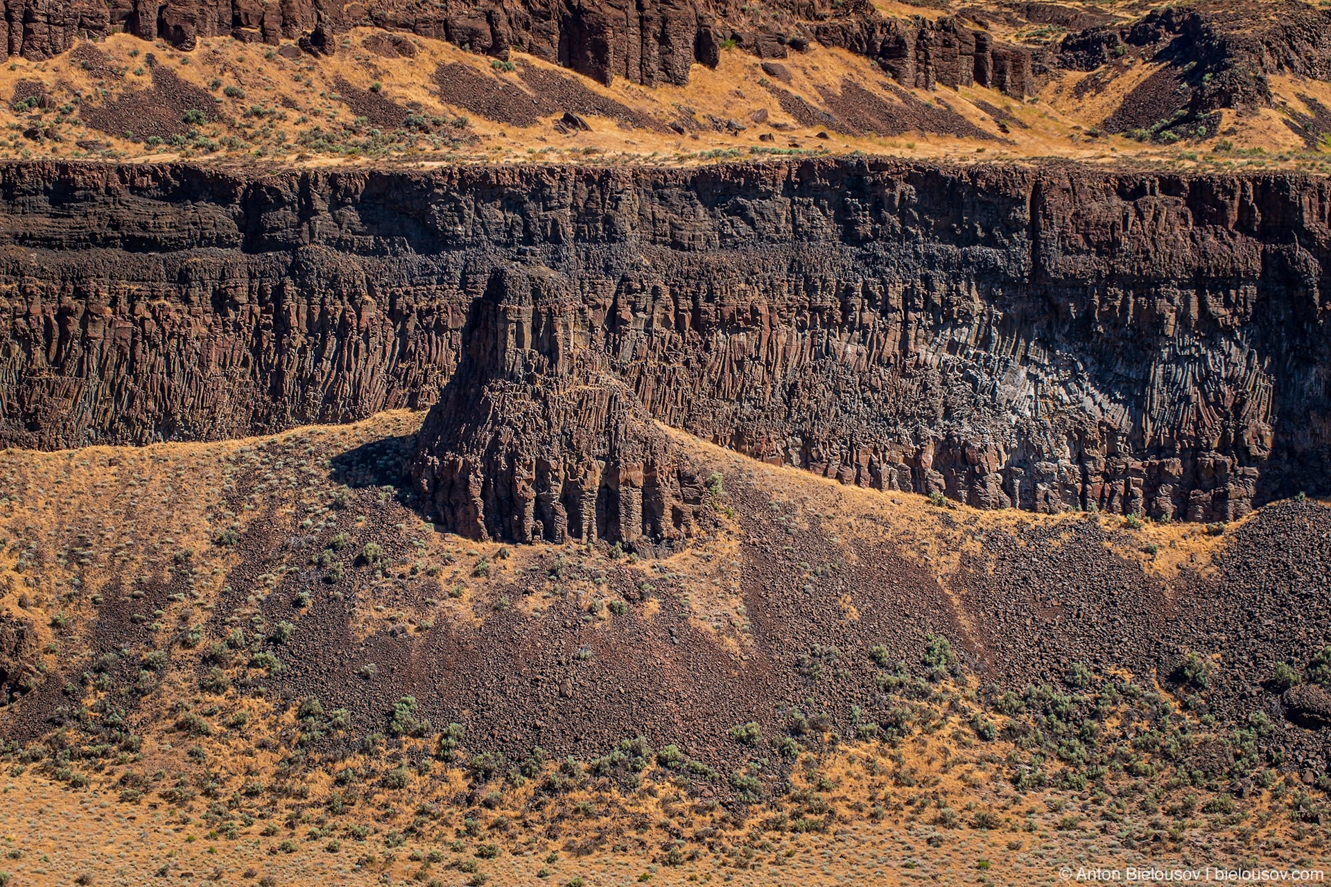
According to very recent studies (2018, link at the end of the post), basalt columns (or columns) are formed when the lava flow has already solidified and begins to cool below a certain temperature (840 - 890 ° C). Since the zone near the surface cools faster, it shrinks faster than the rock a little deeper, where tensile stresses in turn arise. If they exceed the strength of the rock, then faults occur along the cooling line. Further, in the center of each such broken piece, a local cooling center is formed, to which the rock is, as it were, drawn together - parallel to these lines of contraction in the rock layers, vertical faults are formed.
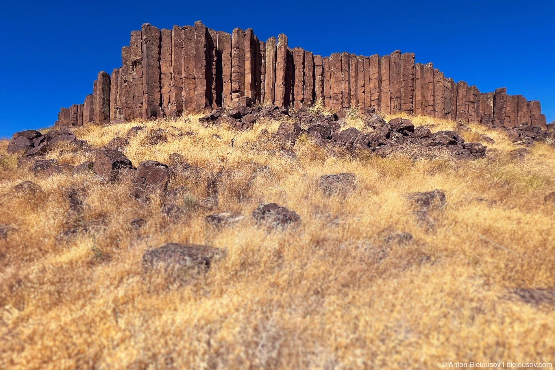
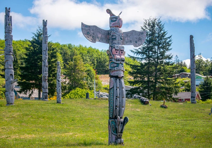
Drumheller Channels This process is called columnar or prismatic jointing. The pillars in Drumhell Channels Park reminded me a lot of Indian totems.
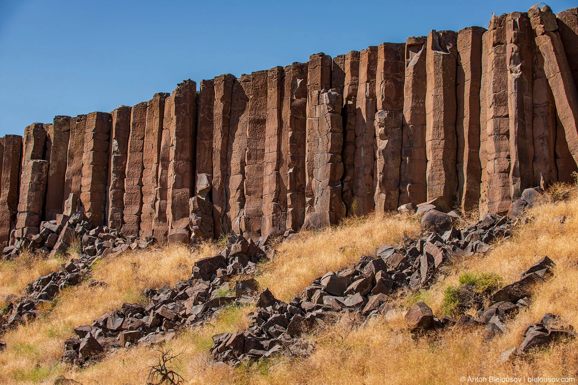
The thing is that the faults do not occur throughout the entire thickness of the lava flow - after all, a high temperature remains in the thickness of the flow, which means that the rock is more plastic and such a strong contraction has not yet occurred ... yet. Therefore, the formation of the entire column is an intermittent process and they grow in stages, forming separate sections.
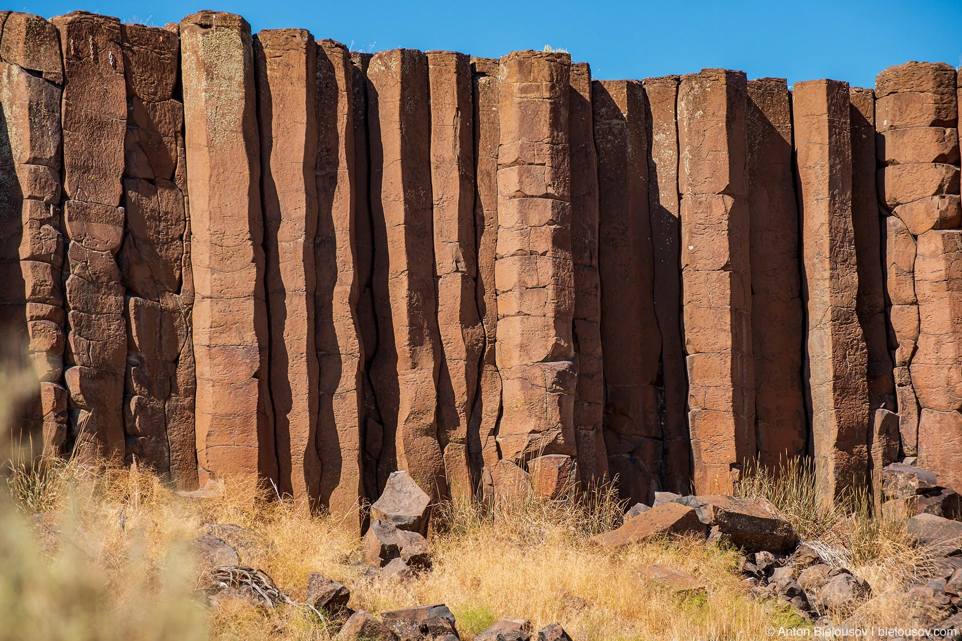
Such sections are called "chisel marks".
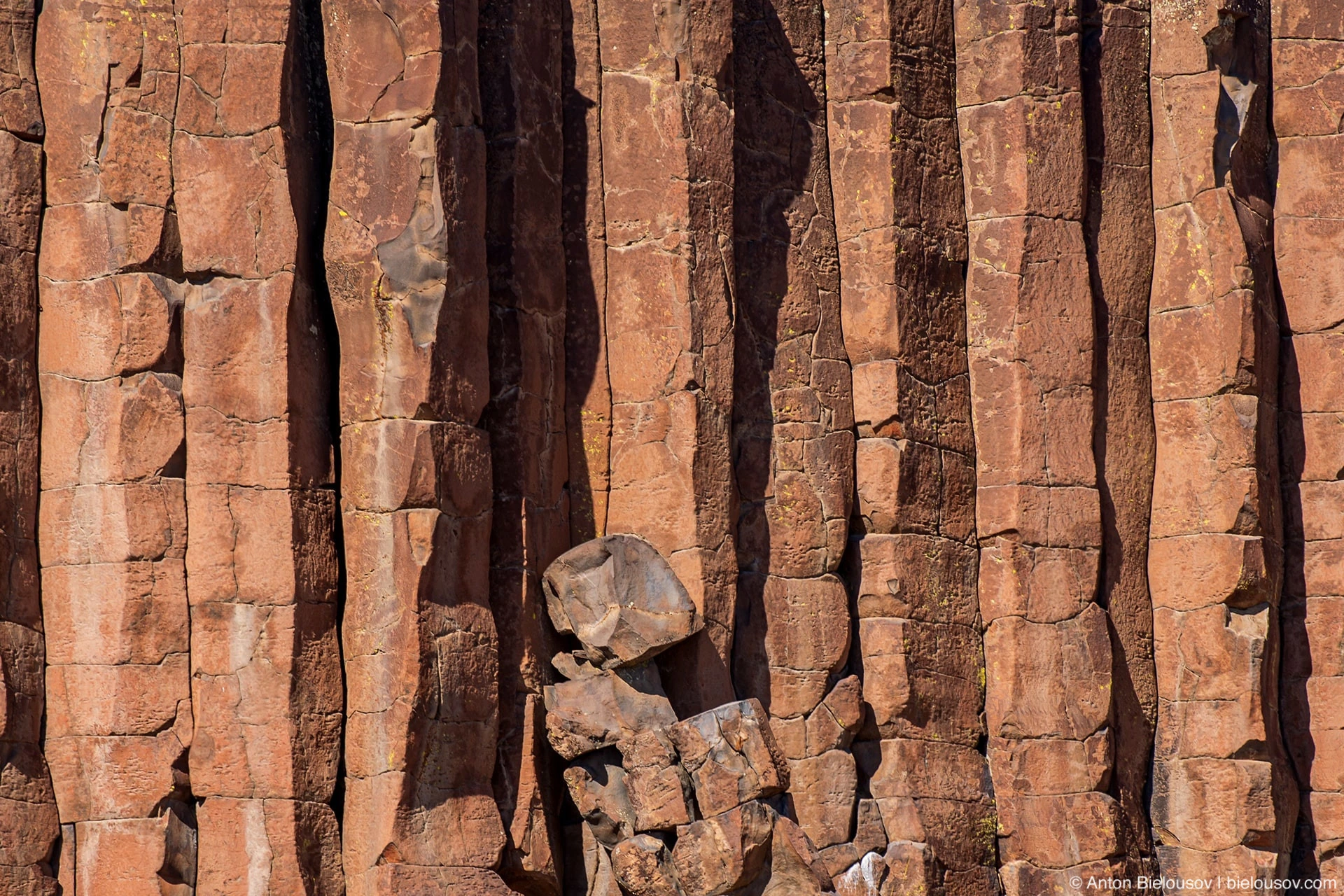
Since the rock cools not only from above, but, albeit much more slowly, from below, too, the columns grow in two directions - towards each other. Moreover, they are always perpendicular to their base, so they can quite accurately represent the relief of the ancient surface on which the lava flowed.
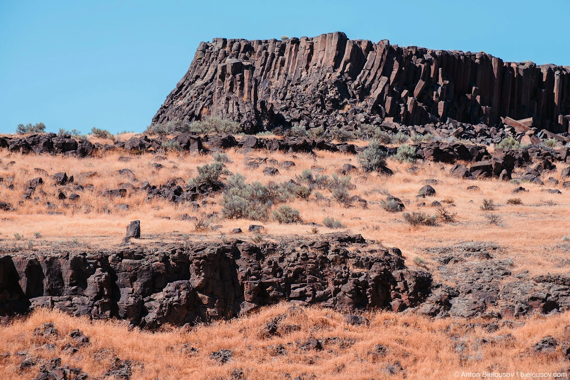
Drumheller Channels
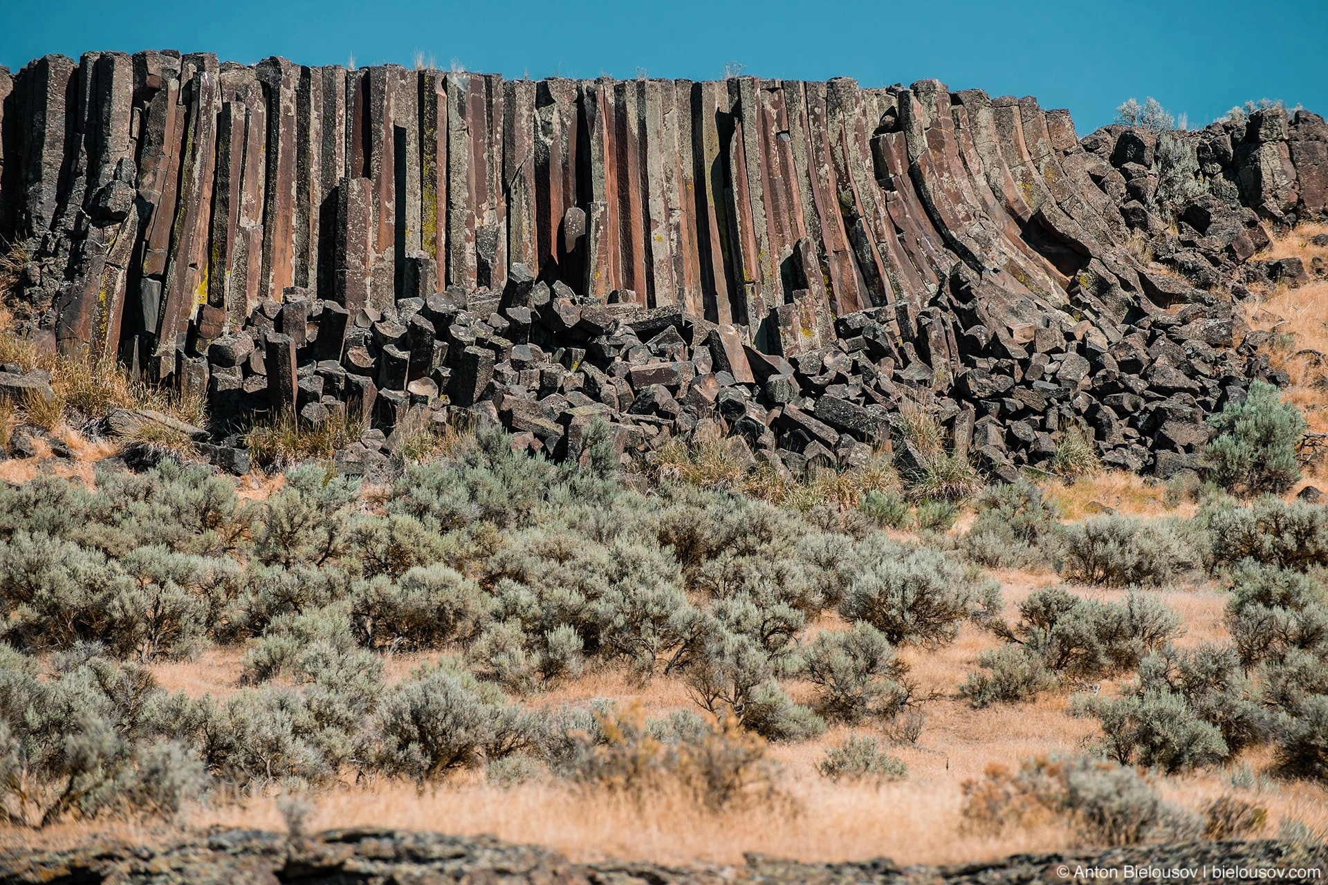
Pillars growing from above and below meet sooner or later - and at the place of their meeting there is, so to speak, a mismatch.
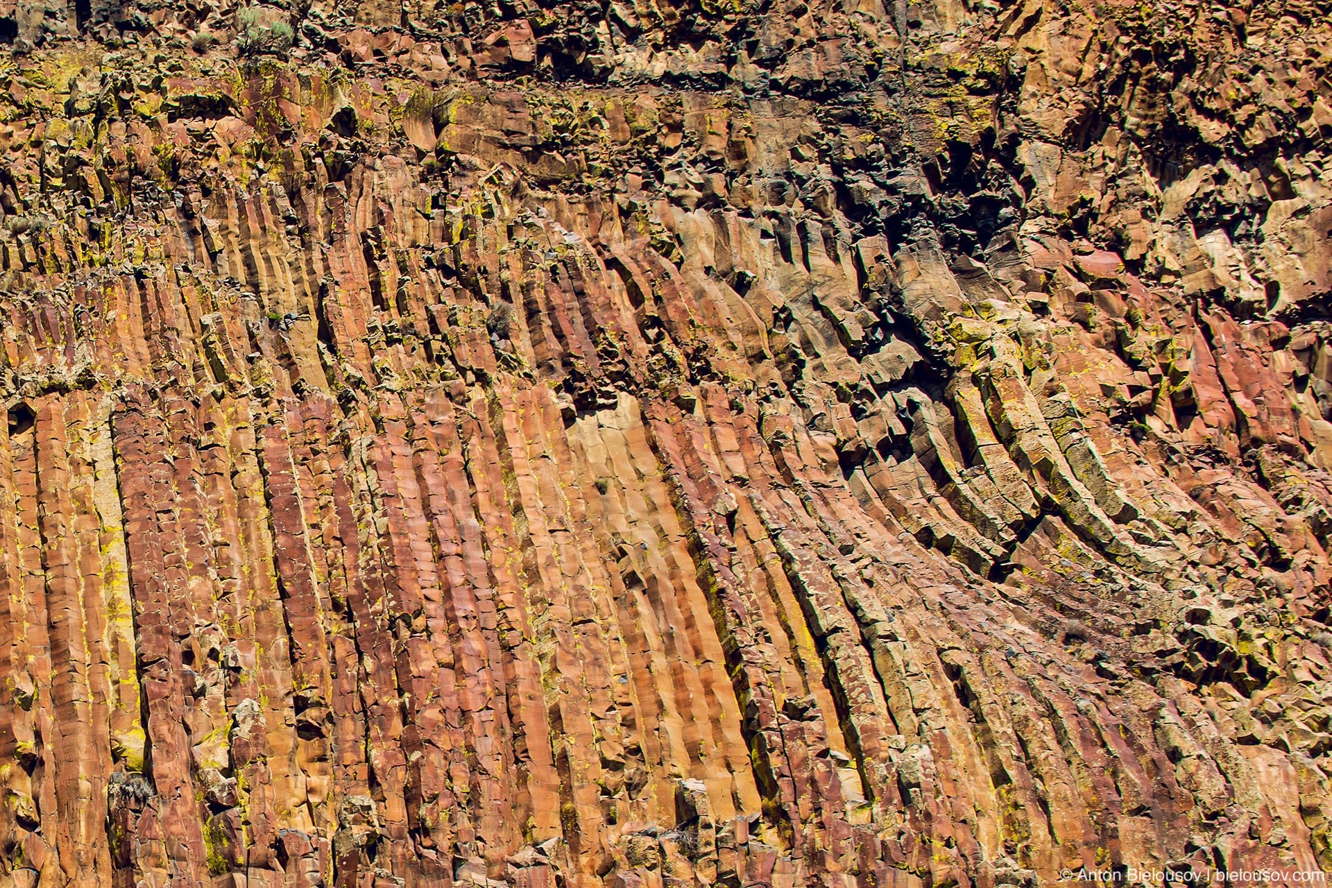
Moses Coulee Although the columns tend to be cylindrical in shape, the fault lines still cannot be rounded in both directions, so the columns are polygonal and most often have 5 or 6 faces, but there may also be less regular shapes - from 3 to 7 faces. The more difficult it is to realize their miraculous origin.
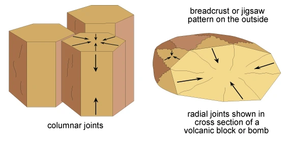
WASHINGTON STATE DEPARTMENT OF NATURAL RESOURCES: COLUMBIA BASIN; Their thickness can be from a few centimeters to 3 meters.
They breathe Him
Potholes Coulee
It was the first place on our route where we could walk a couple of kilometers deep into the desert.
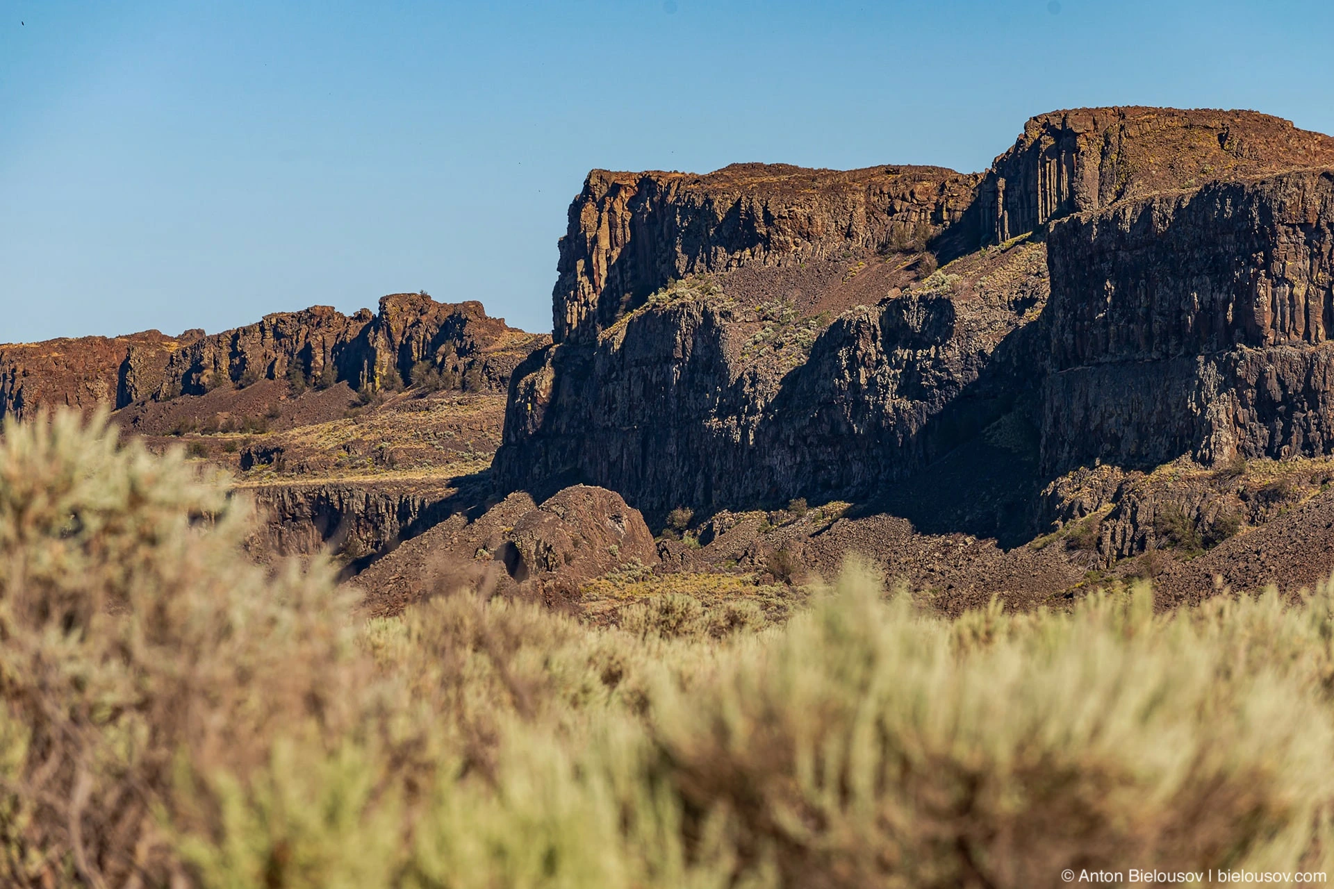
I must say that not everyone appreciated the walk under the scorching sun, and it was already leaning towards the horizon and we had to go looking for a place to spend the night.
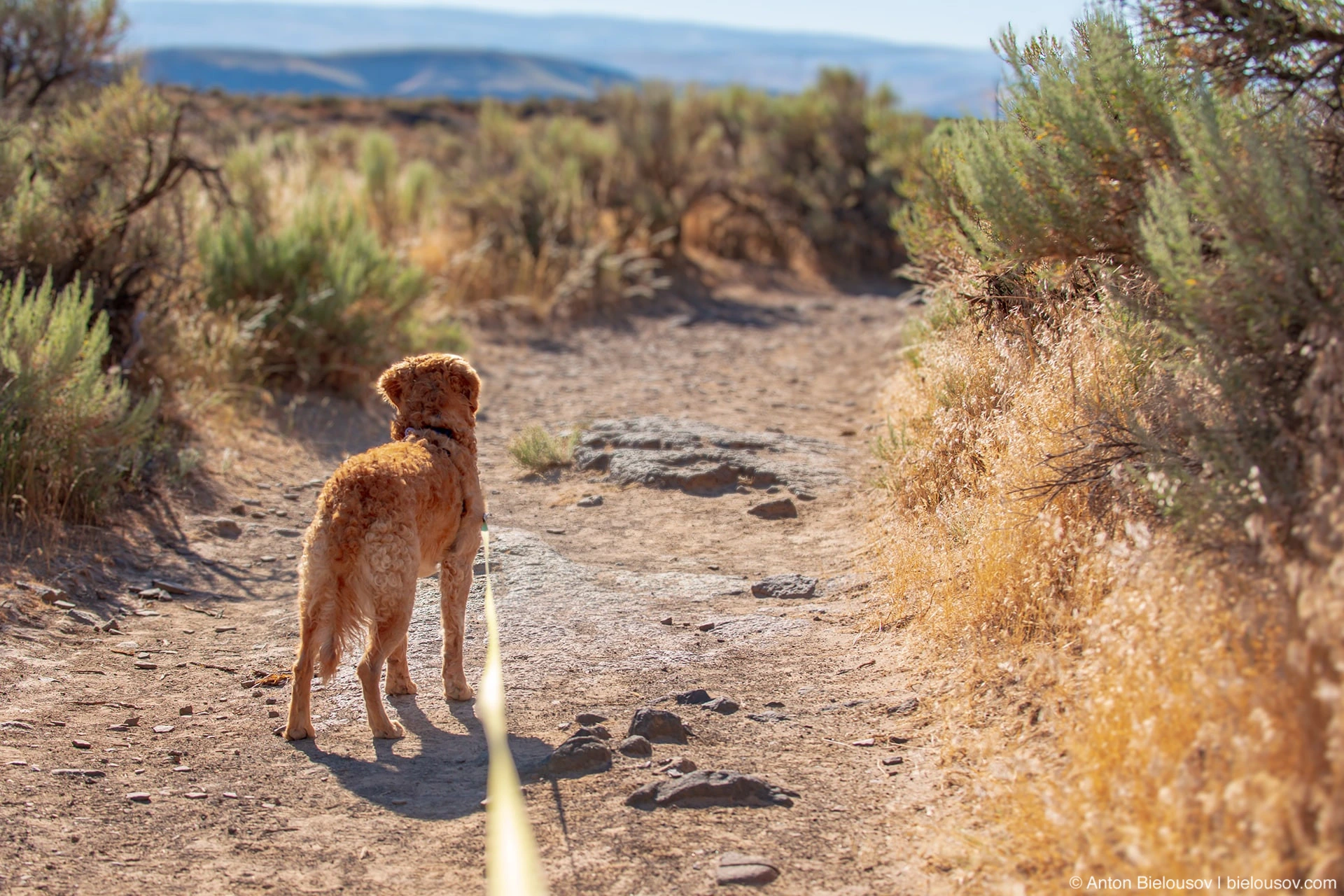

But compared to other places, there are definitely no such outstanding structures here, although there are several trails in the area, including quite long ones (on Dusty Lake, for example), where, judging by the photo, it is very beautiful in winter, or at the border of seasons when the valley covered in snow.
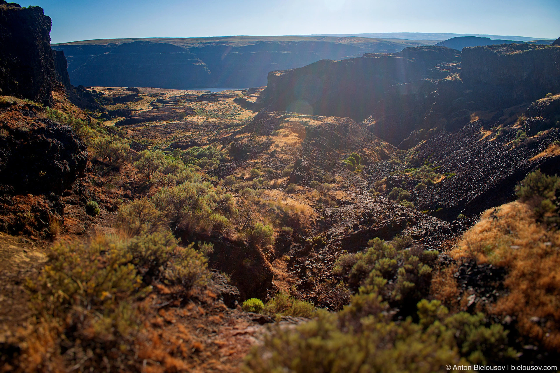
It will be necessary to come again, without children and not in such hell.
Drumhell Channels
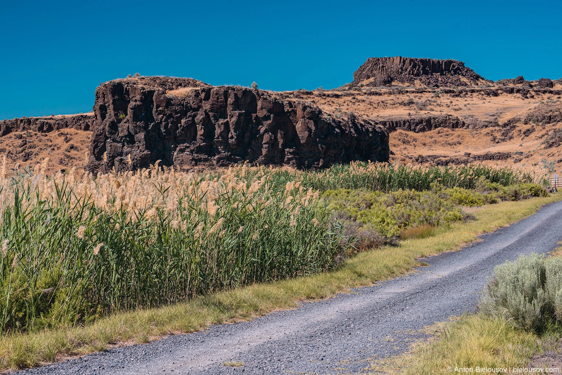
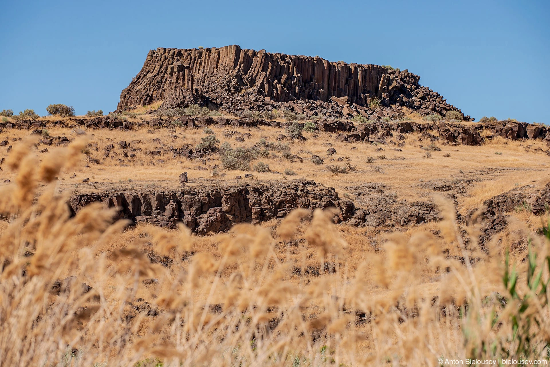
Drumheller Channels National Natural Landmark In addition to the fact that this is a place where there are a lot of basalt formations with clear "chisel marks".
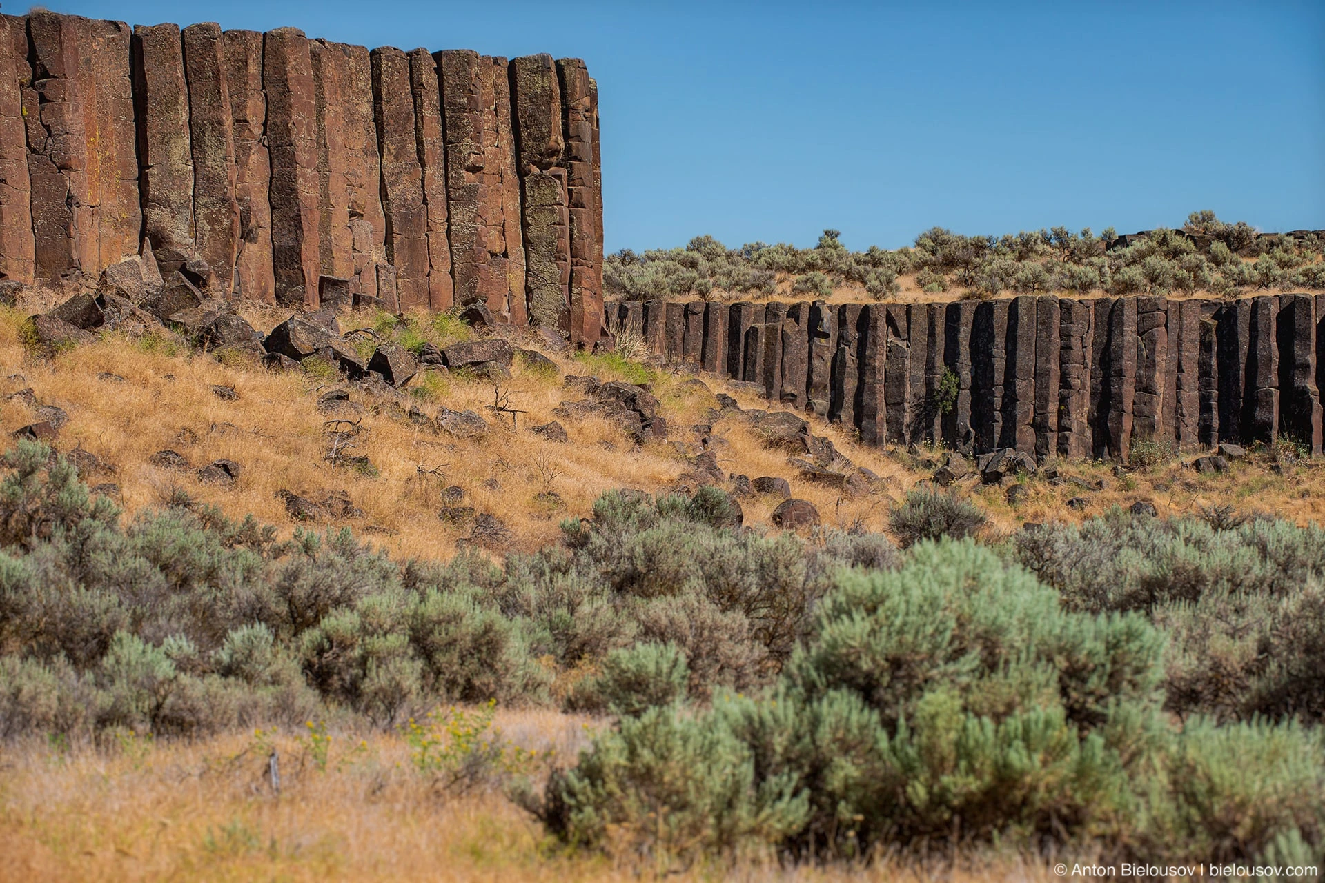
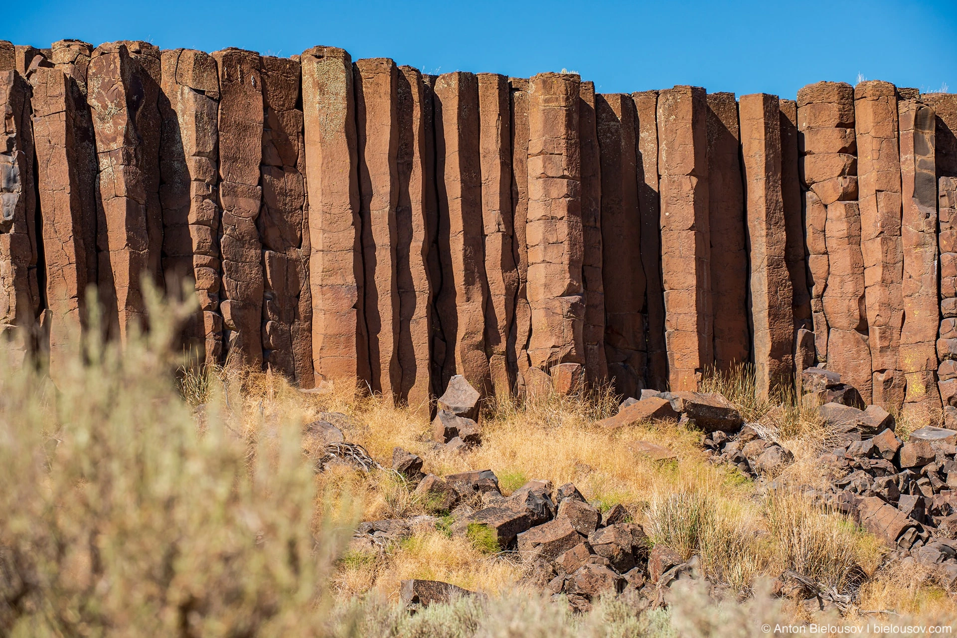
There is even one Leaning Column here:
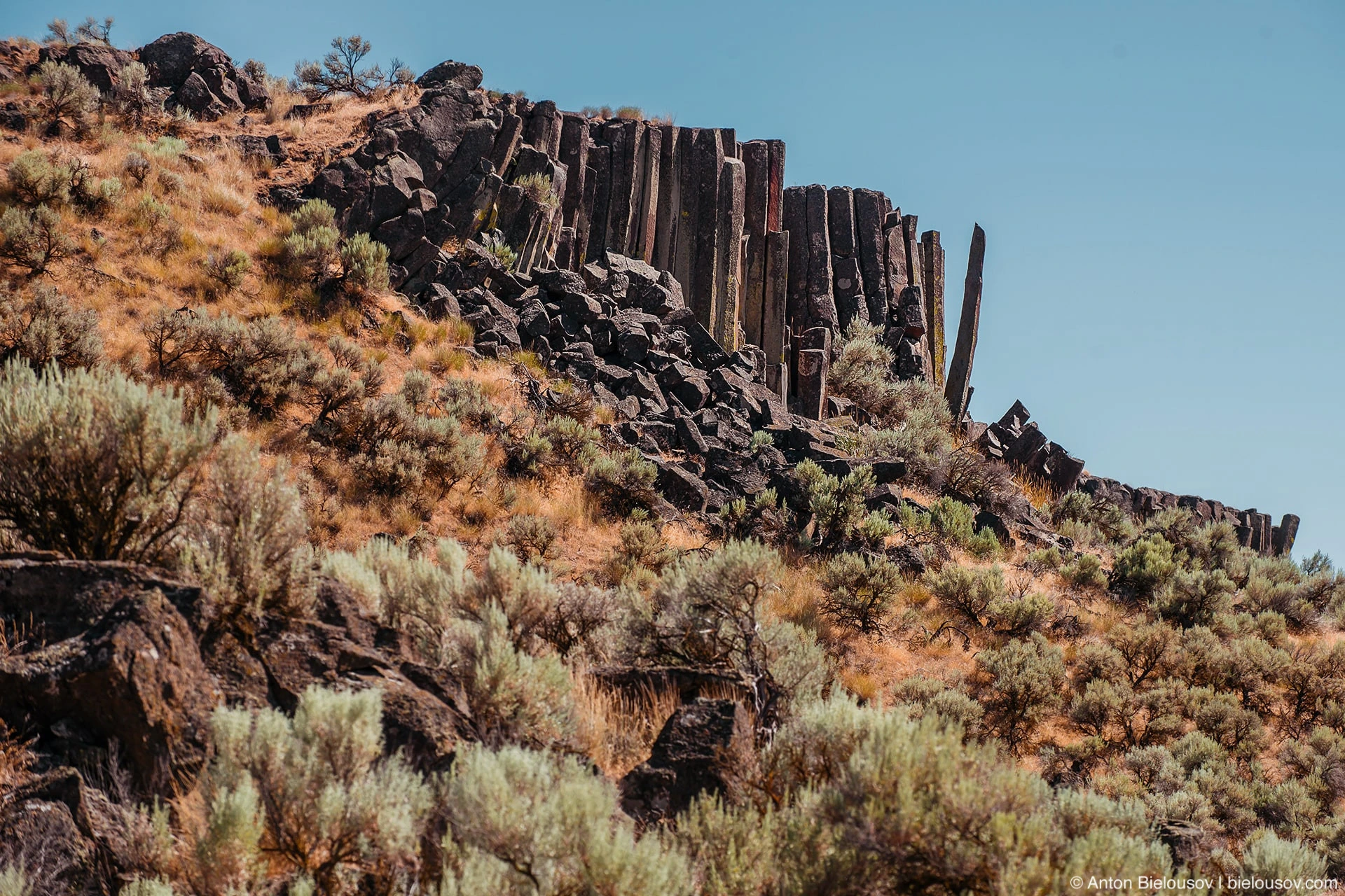
It is also the most striking representative of the so-called Channeled Scablands region - those channels and canyons washed out by prehistoric floods. In particular, the Missoul flood with a flow speed reaching up to 110 km / h broke through not one channel, but a whole network of small channels.
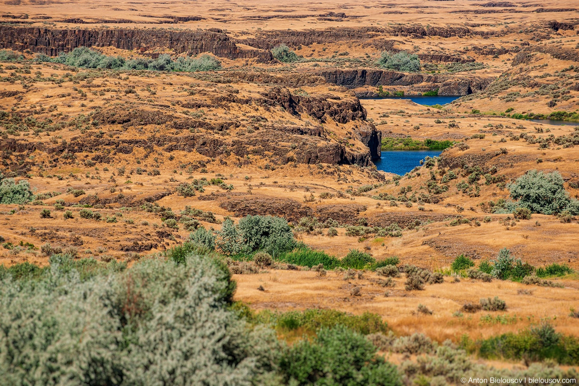
It also hosts the ancient course of the Columbia River, which was turned by ancient glaciers. And when I say ancient, I mean ancient - 2.6 million years ago.
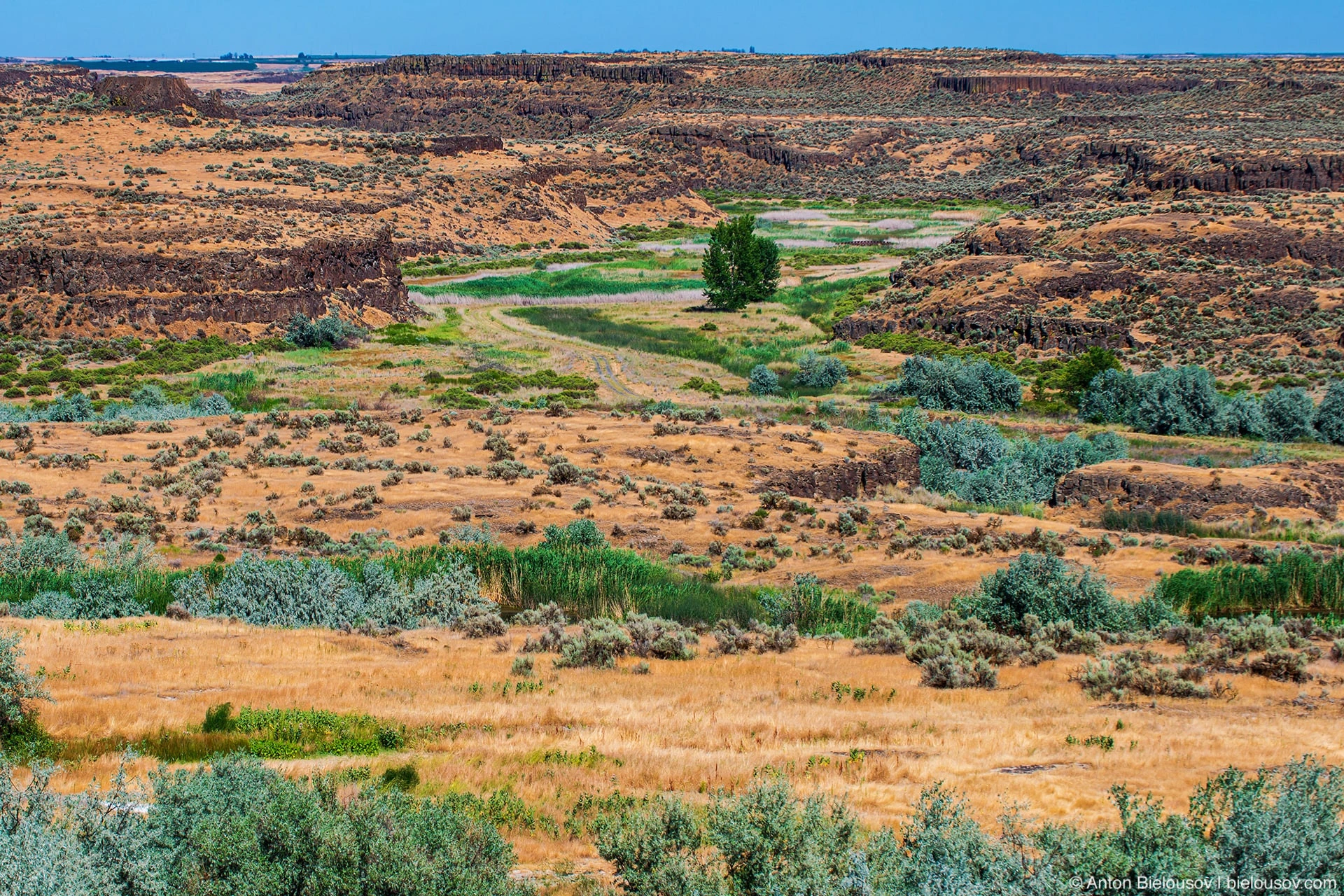
Moses Coulee
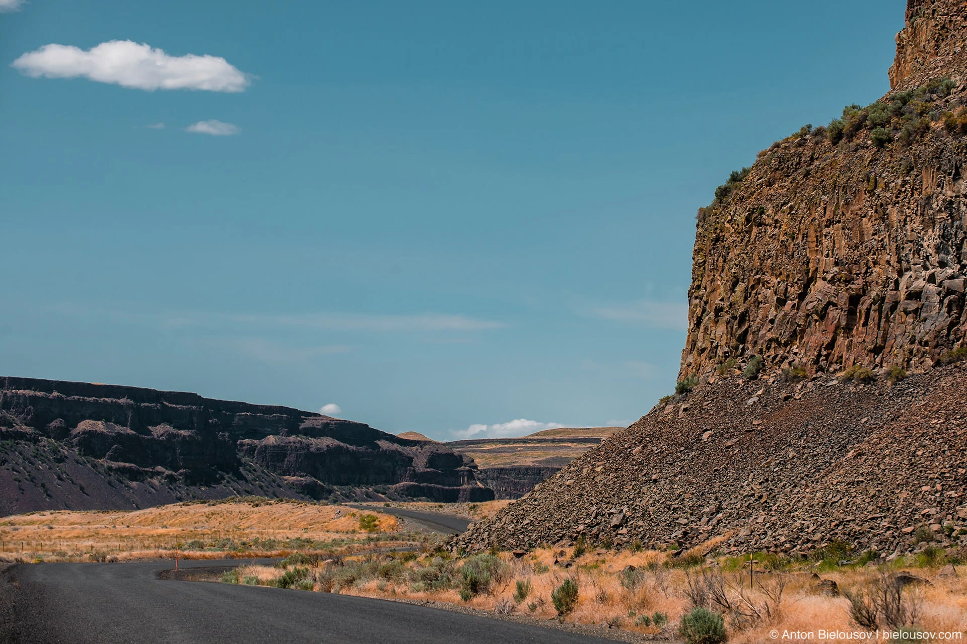
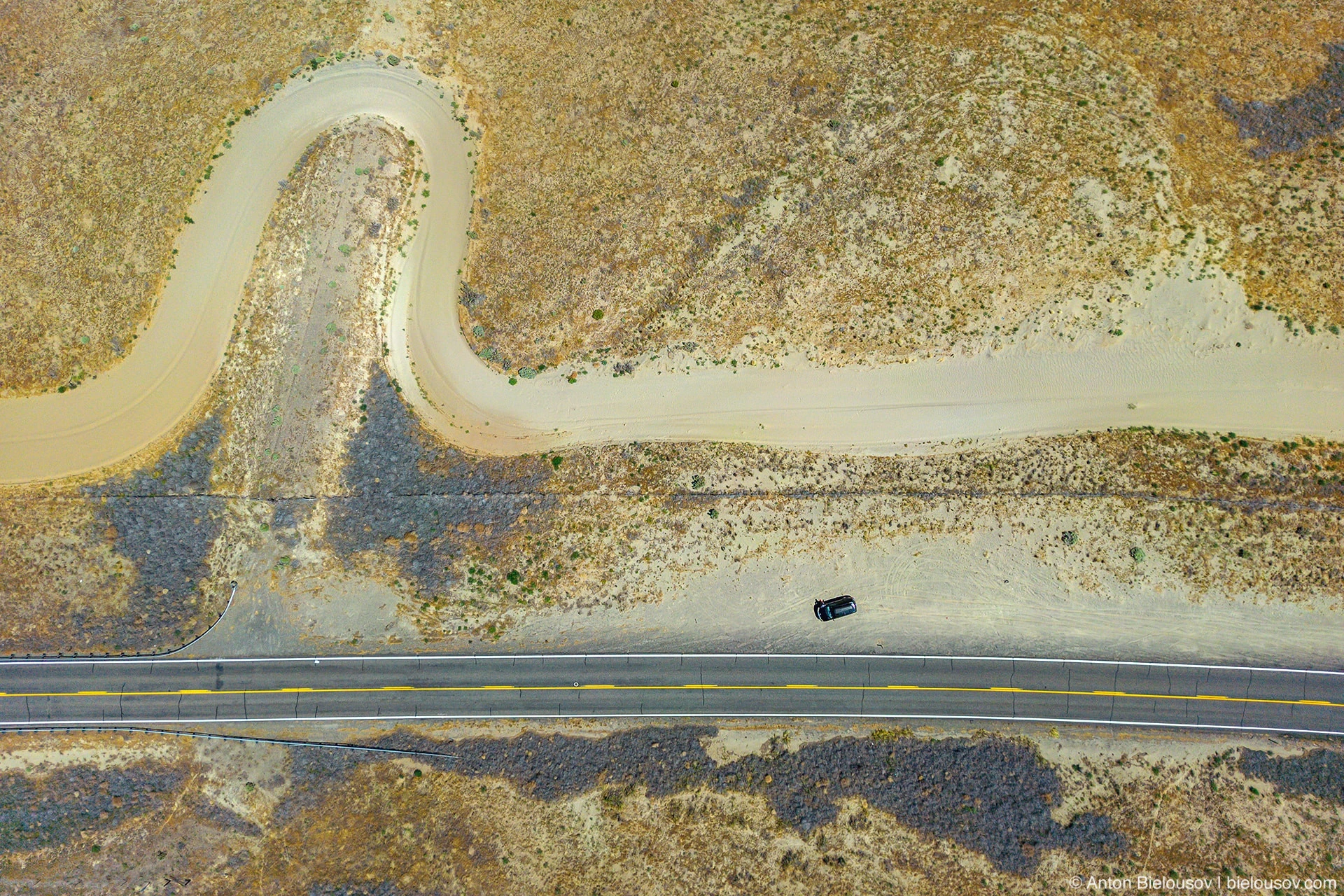
And this is the same canyon that I first noticed on the way to Yellowstone when I so fortunately decided to take Highway 2 instead of the boring I90 Interstate. By the way, the second largest canyon in the region.
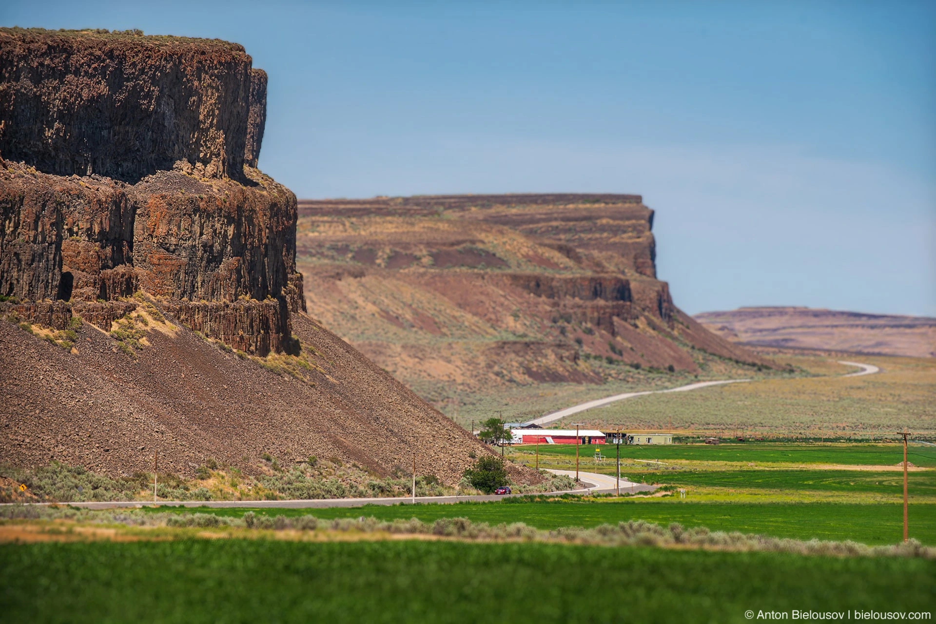
You can imagine the flow of muddy glacial water rushing here at 600,000 m3 / s.
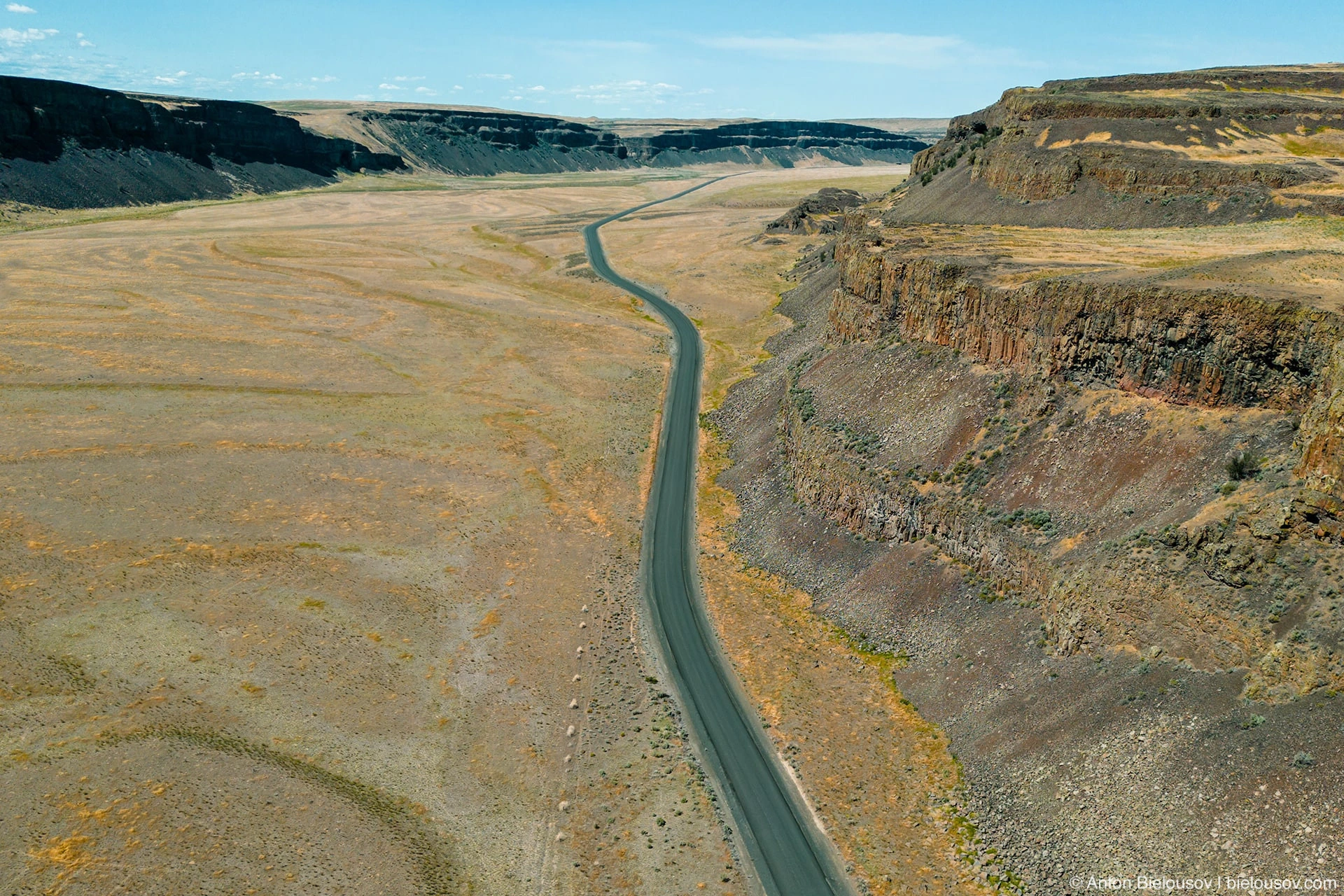
However, these canyons are much older than the Missoula Flood, which occurred only at the end of the last ice age - it is also one of the ancient channels of the Columbia River, where it turned after being blocked in Drumhell.
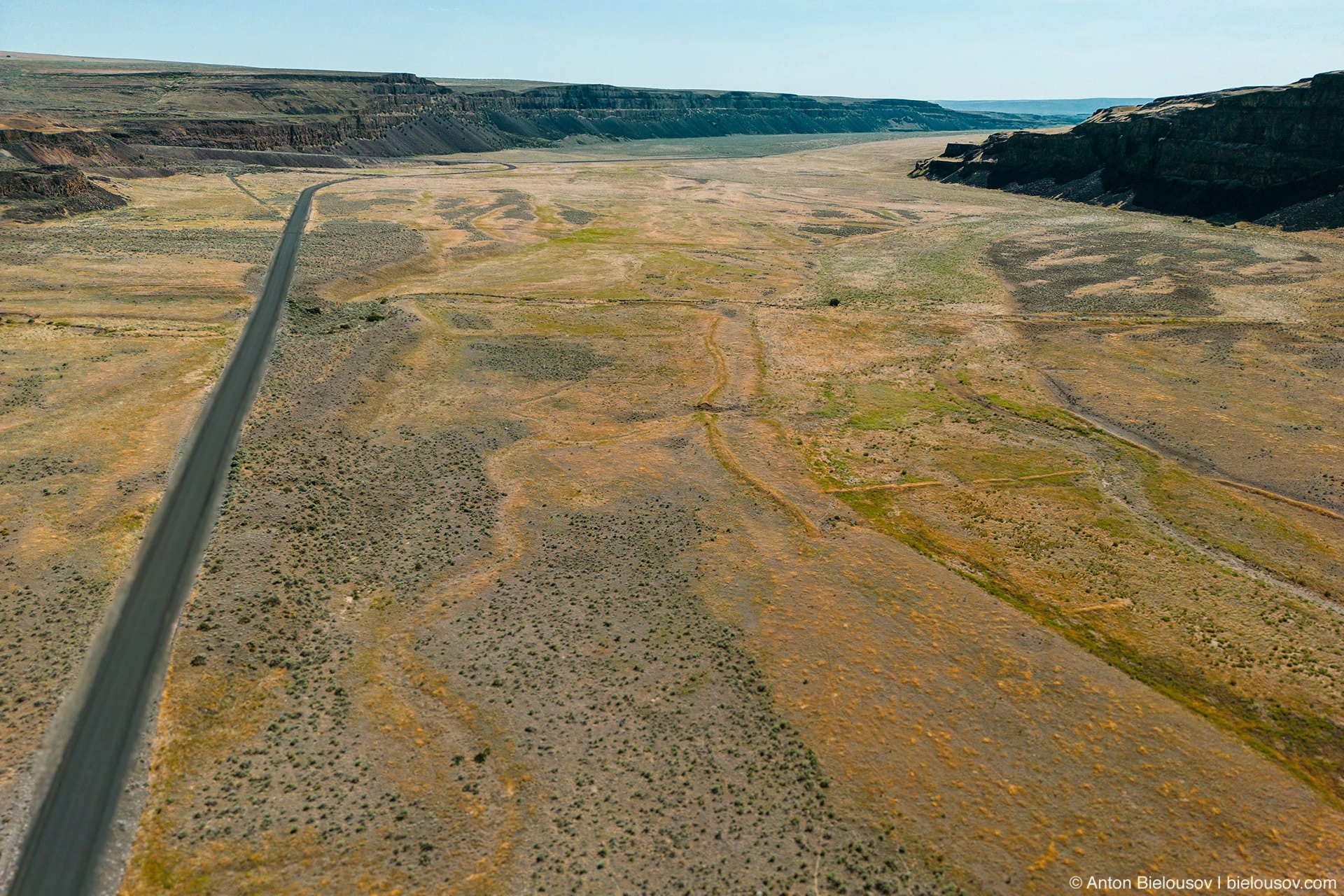
There are also some very interesting basalt formations here.
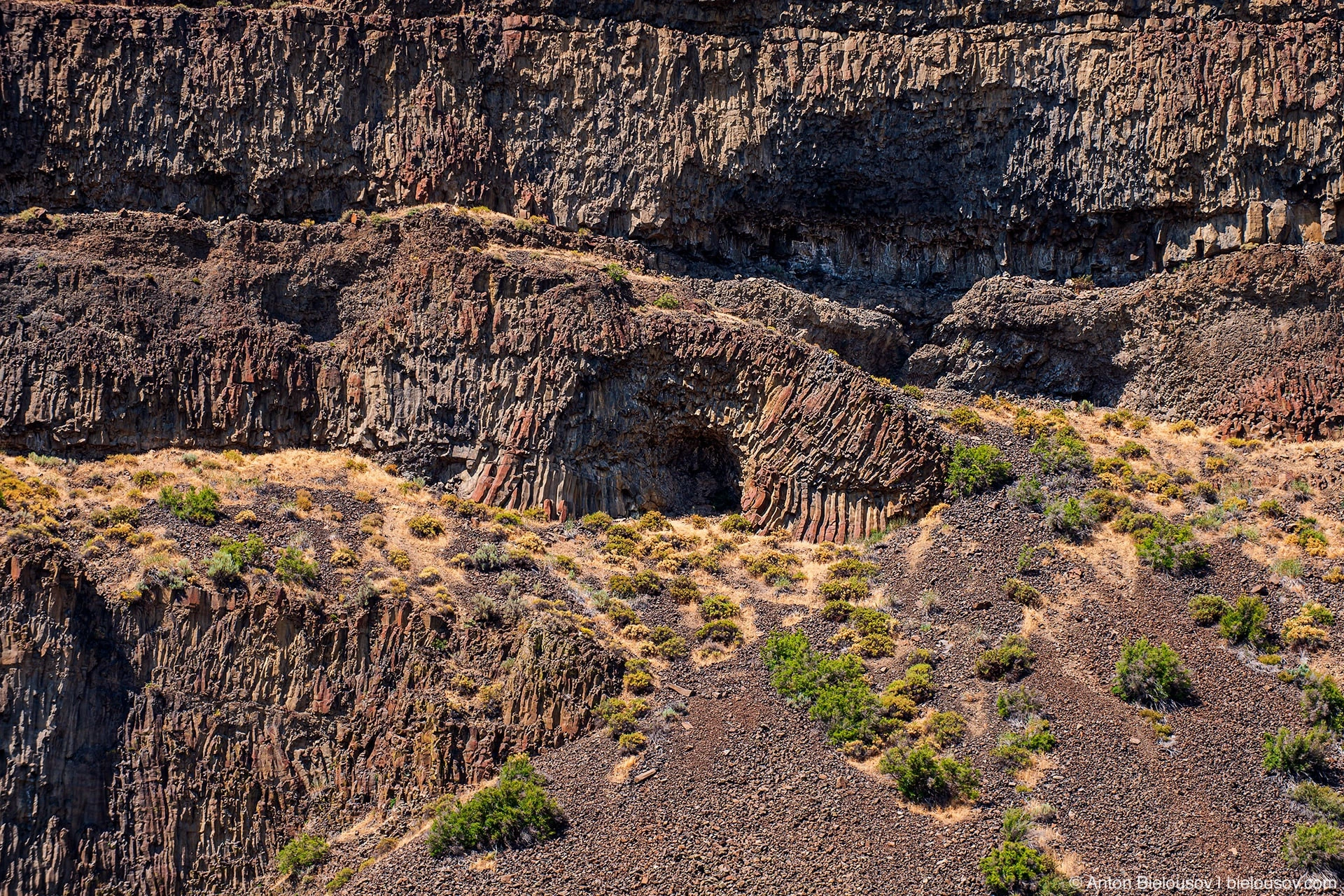
Including those twisted ones.
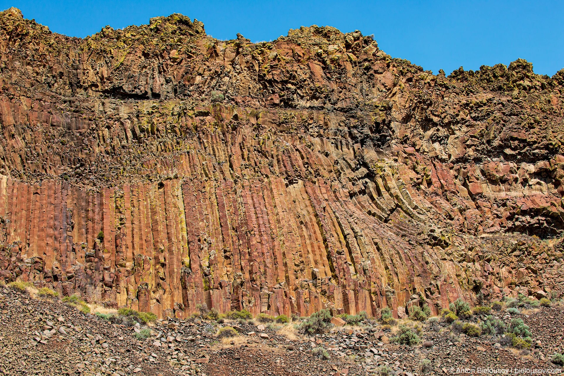
Puff…
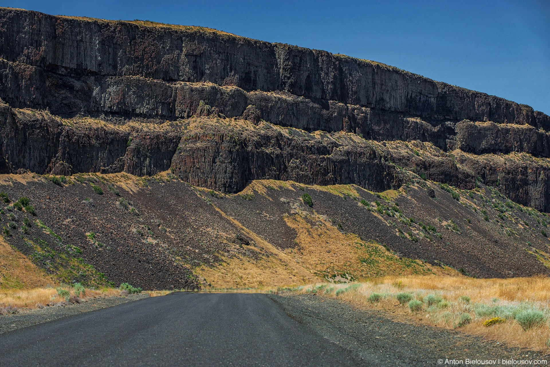
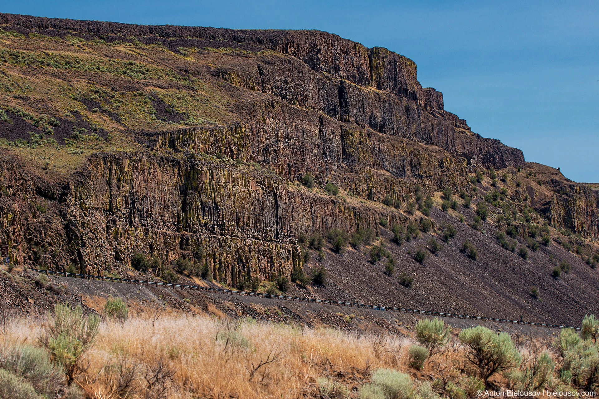
In general, for every taste.
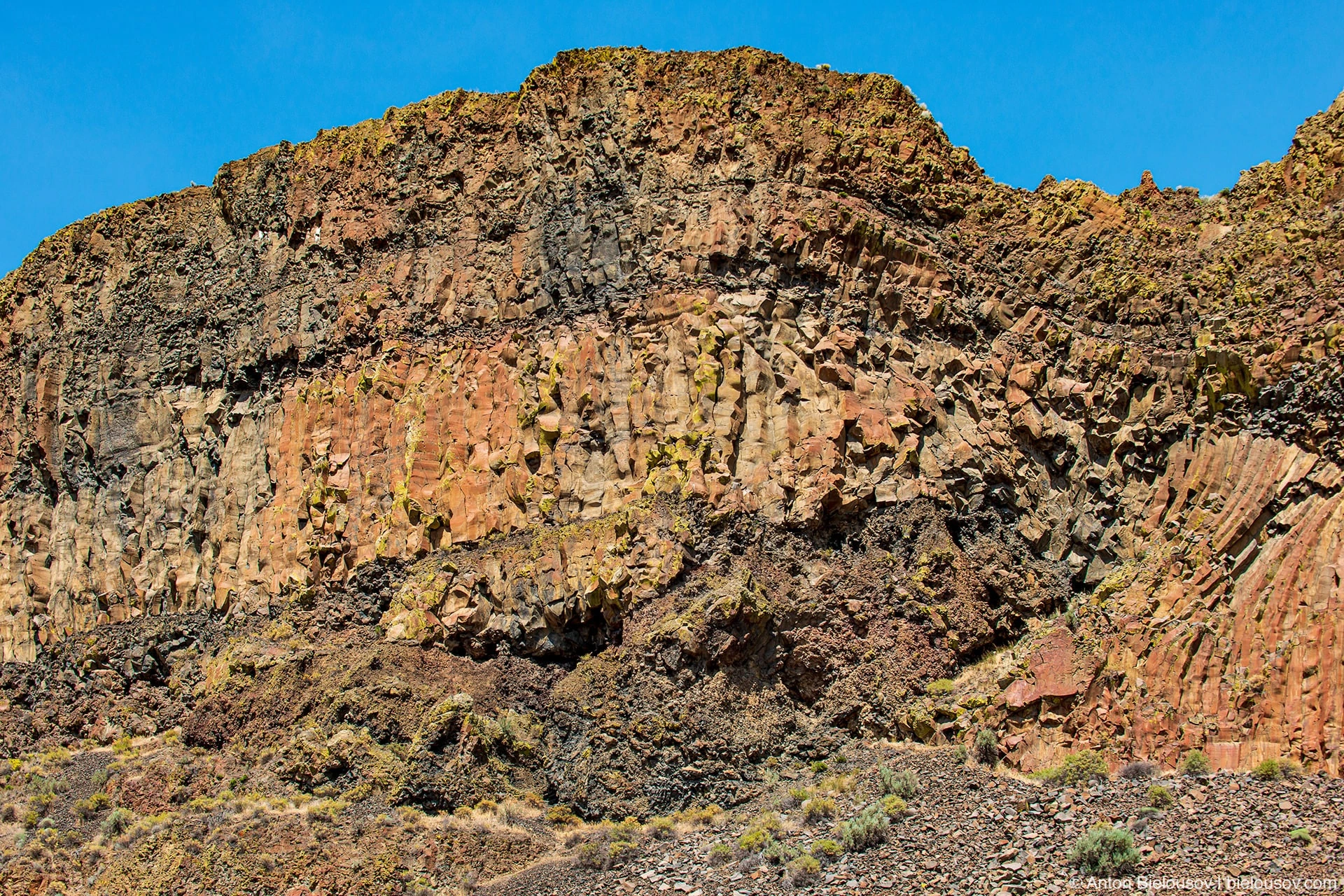
And everything is no further than 1 km from the 2nd highway in any direction (there are only two lapels). But if you drive a little further, you can find places for camping. But we found a better one, I'll show you soon ...
Steamboat Rock
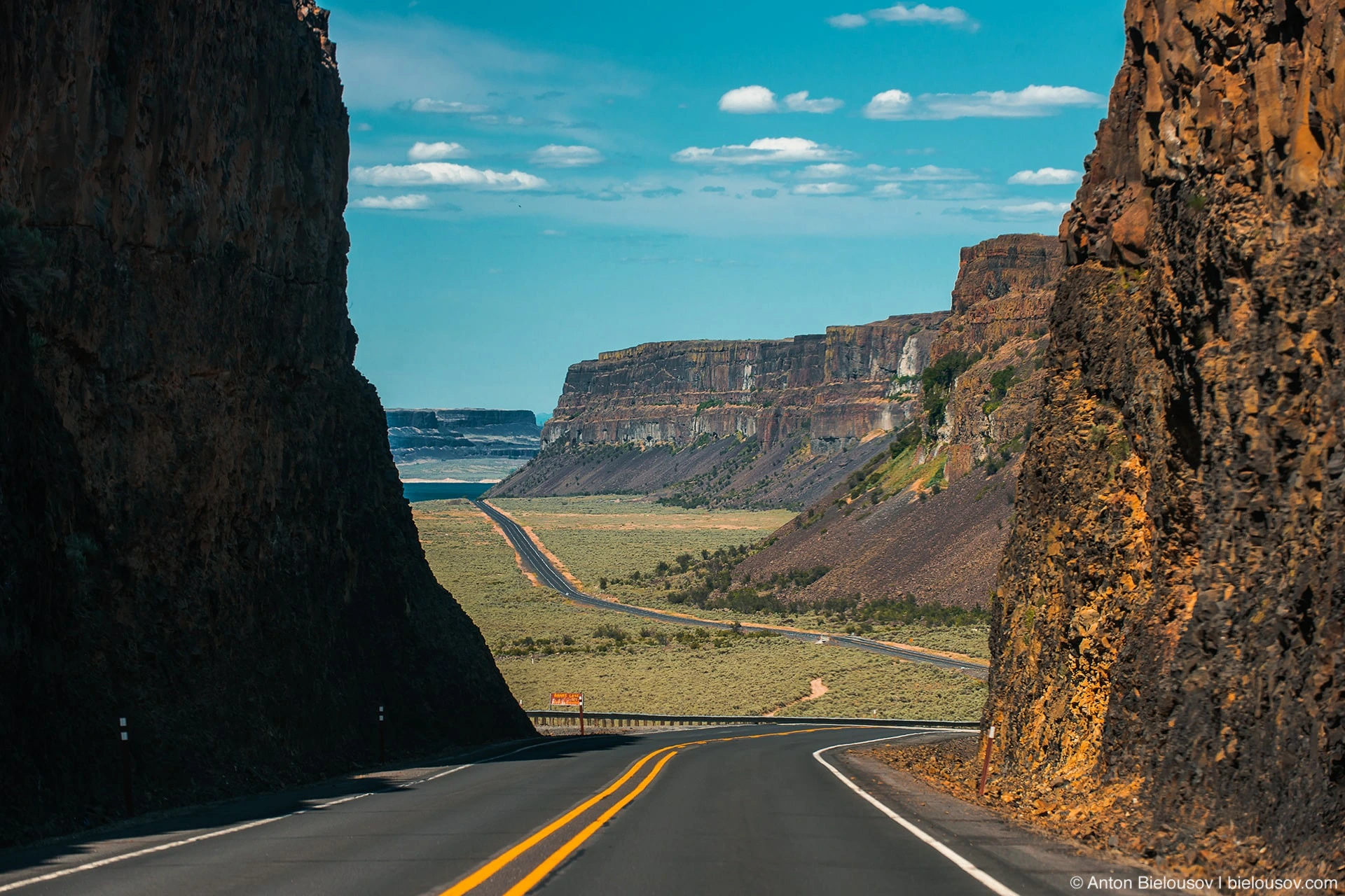
Steamboat Rock and the shores of Banks Lake surrounding it are also a temporary bed of Columbia during the Ice Age. Moreover, then there was a glacial lake of the same name, in which the rock itself was an island.
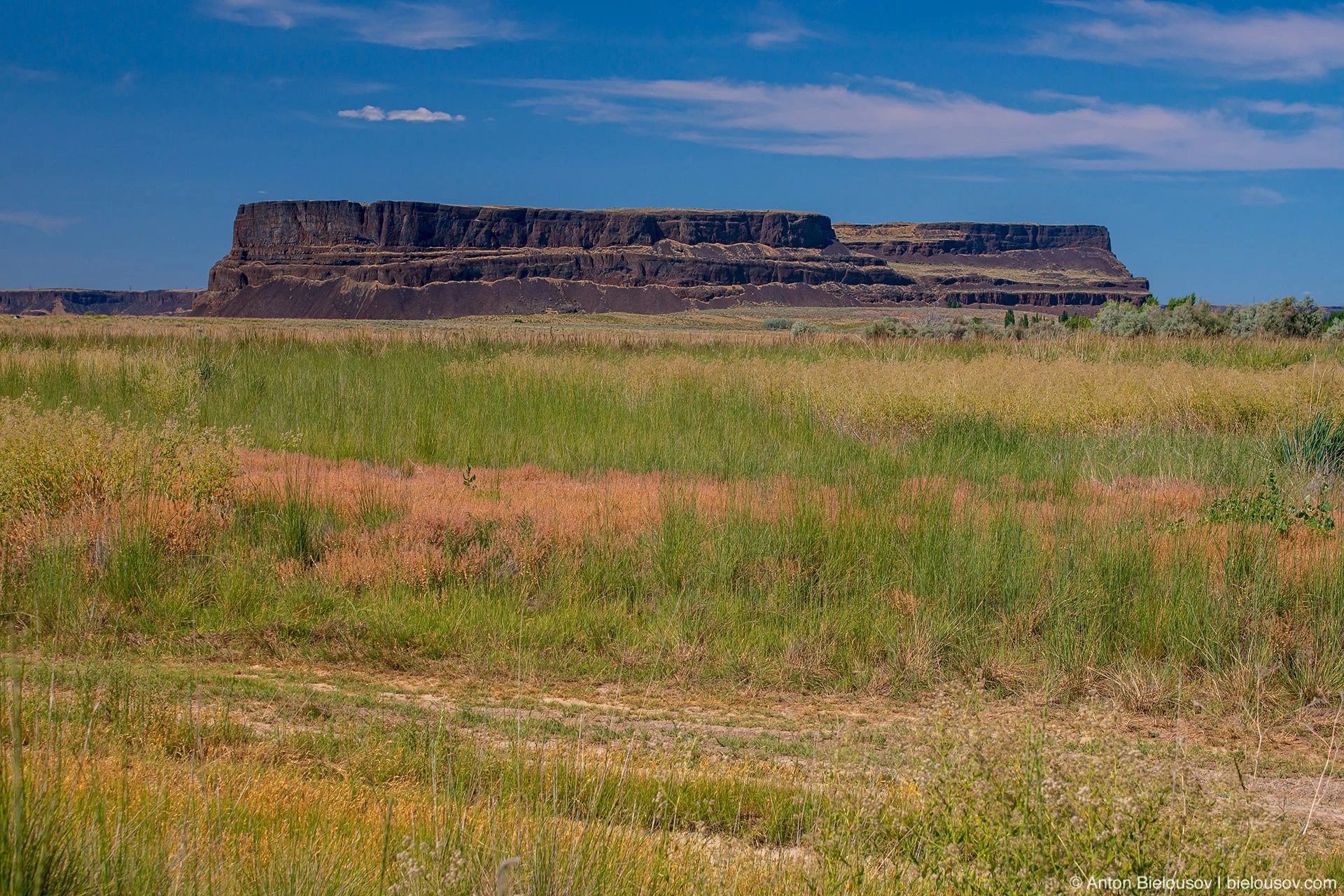
There is a path to the top of the cliff. I need to go sometime - this time it was too hot, and time was running out.
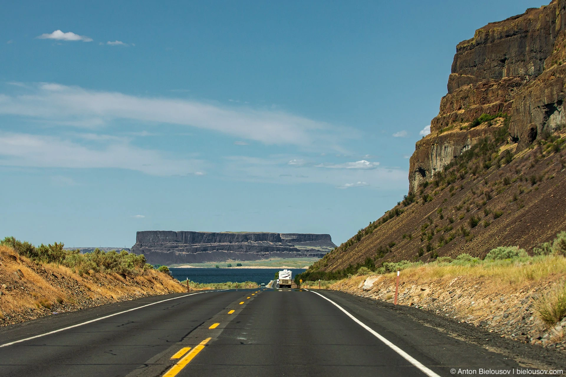
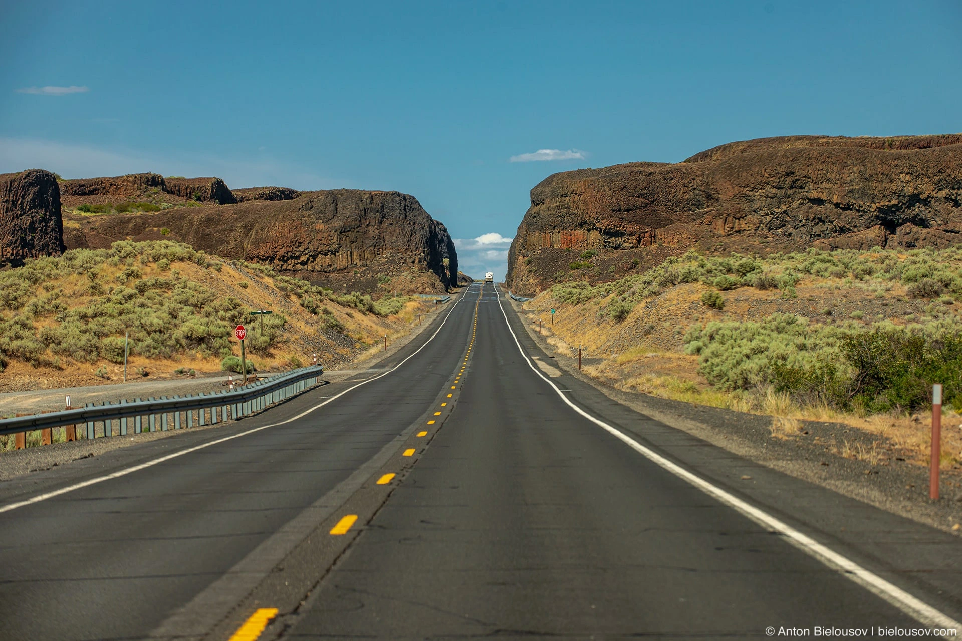
It is very beautiful here just to drive along the road (155 highway), laid in basalt rocks.
On the eastern shore of the lake one can also see distinct layers of basalt colonnades.
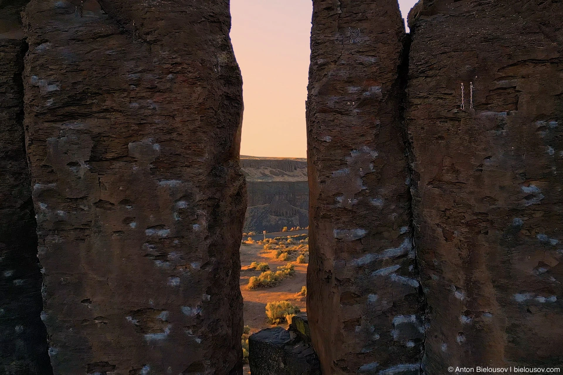
Frenchman Coulee
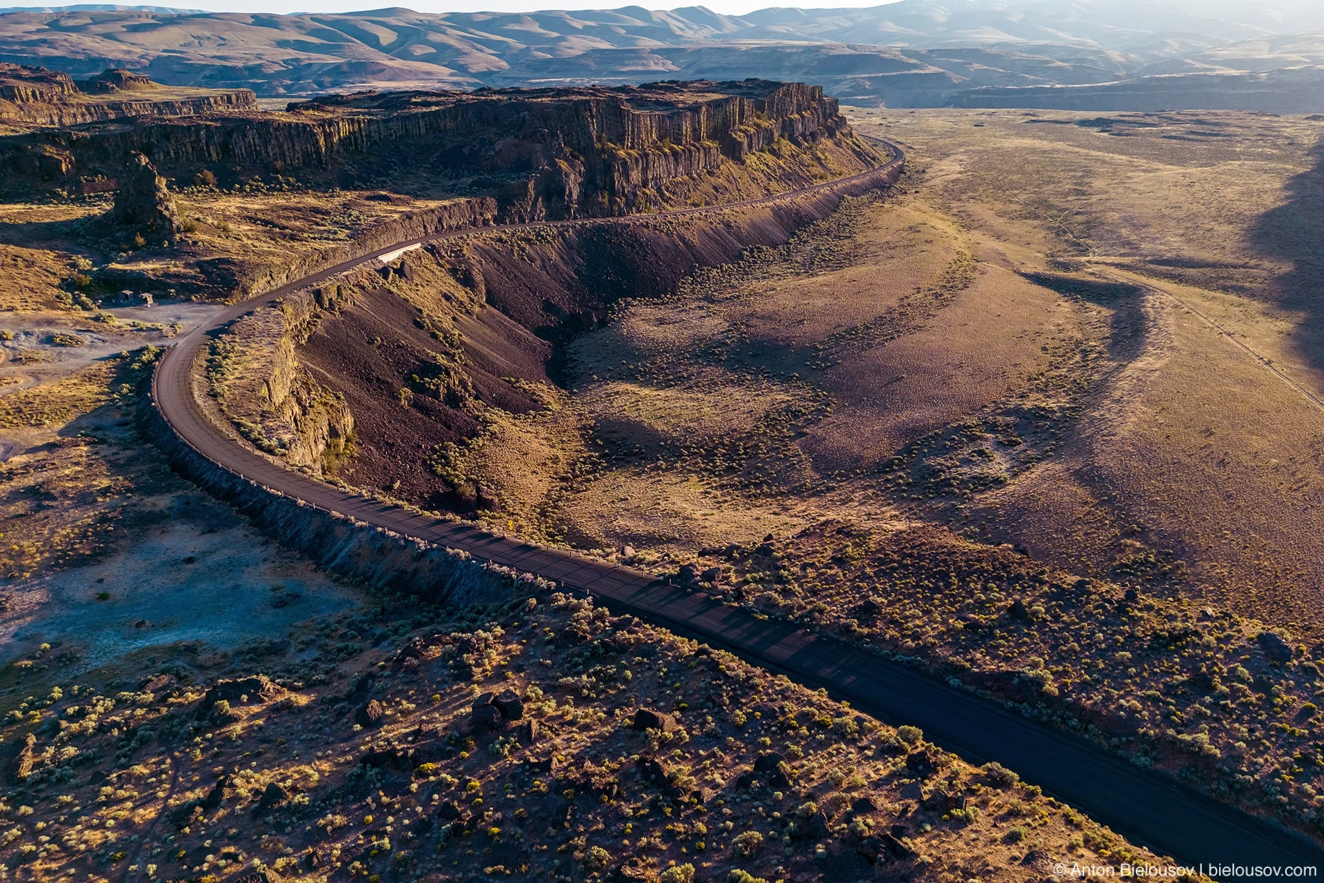
There are places where, having spent the night once, and having the opportunity to stay for the next night in any other place, it still pulls back here. Frenchman Coulee is definitely such a place.
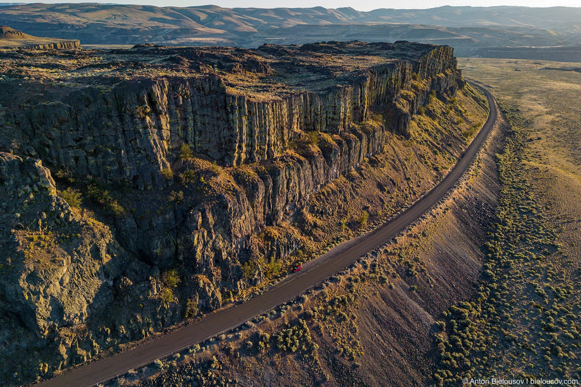
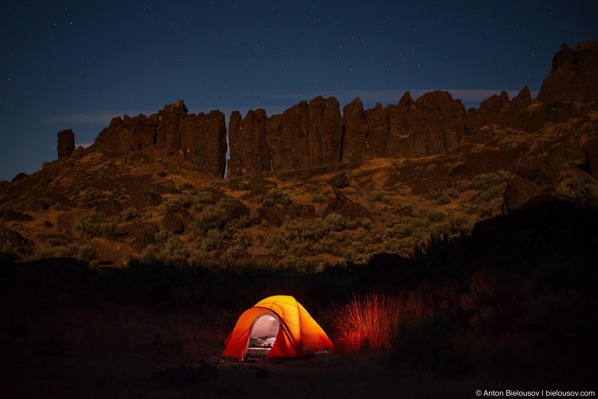
One of the most beautiful campsites I've been to.
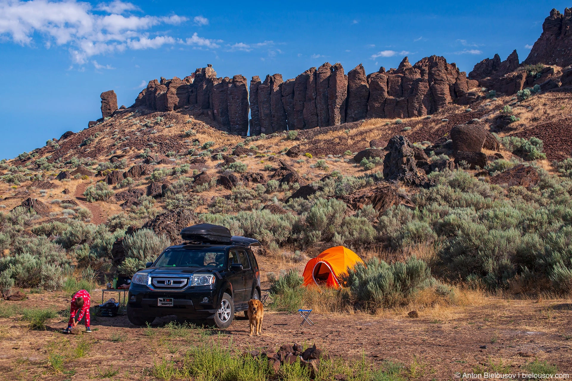
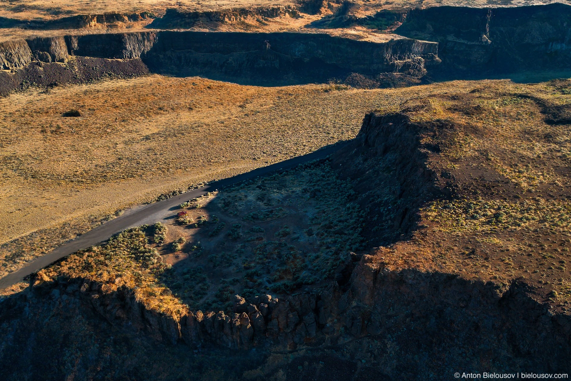
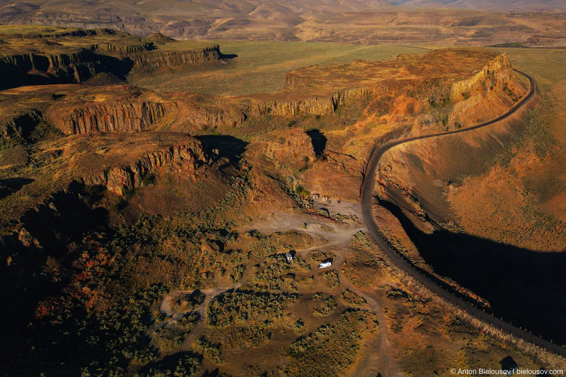
And there is a large selection. If you want in fragrant sage bushes with a view of the Feathers - please.
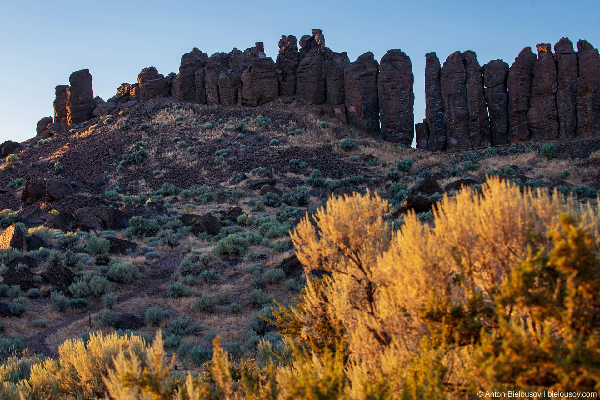
Do you want over a cliff with a view of the waterfall? There is nothing easier.
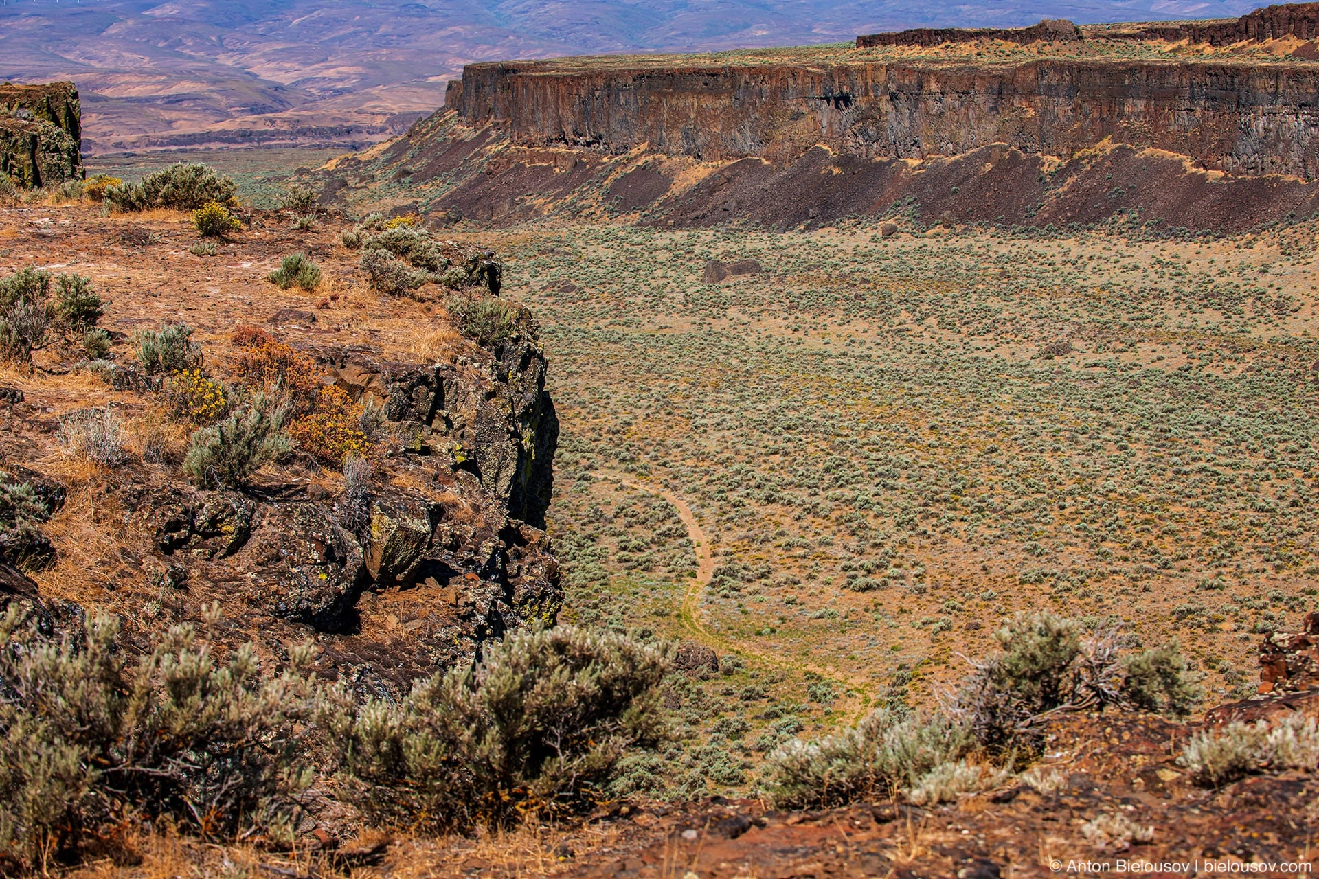
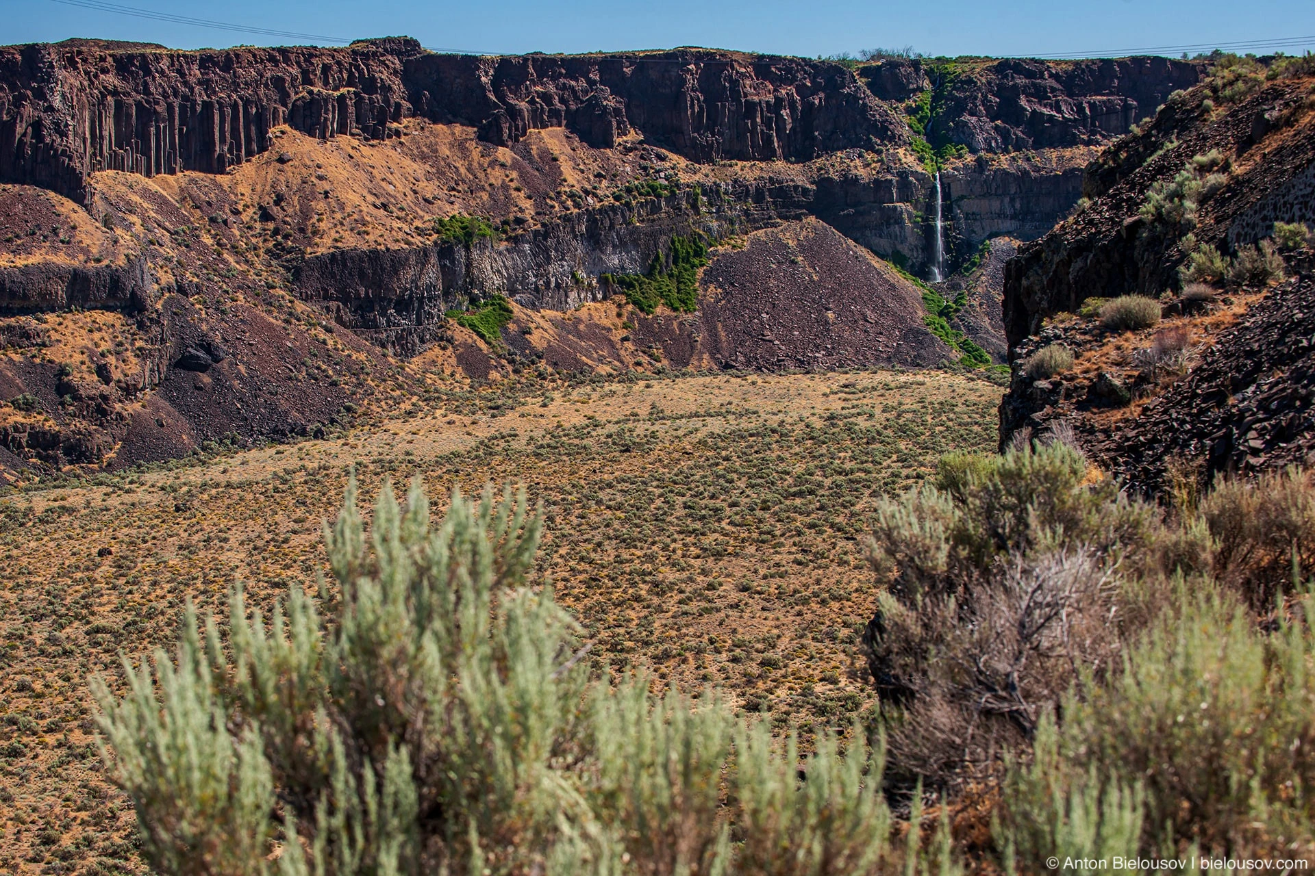
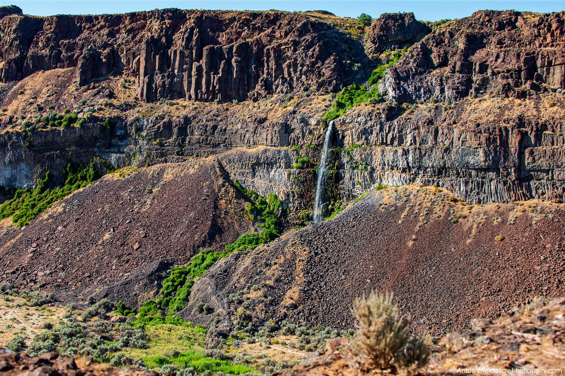
And, of course, where without basalt columns?
And, since this is America, not Canada, you don’t need to reserve anything for 5 months in advance - if on the eve of July 4 - Independence Day - it was empty here, I can assume that you can always find a place. Of the amenities, it’s true that there are only two dry closets here and you need to buy a subscription to the Washington state parks ($ 30 / year), but otherwise the camping is wild, and the presence of a large bottle of water, a shovel and a payment machine (on the northeast side of the “feathers”) decides everything .
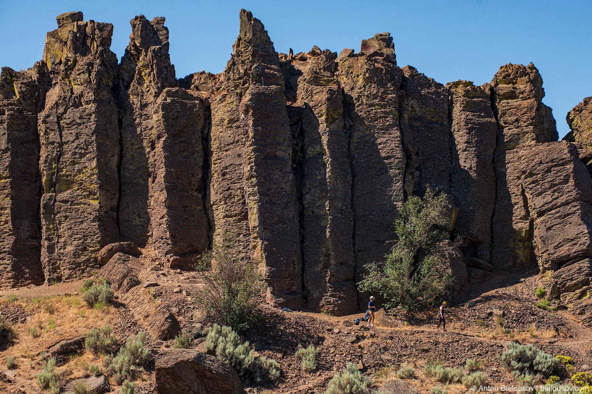
This camp is popular among fans of rock climbing - in fact, several short routes pass along these "feathers".
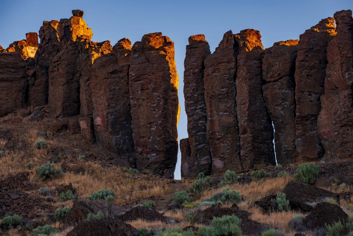
Before sunset, climbers disappear somewhere and everything around is flooded with gold.
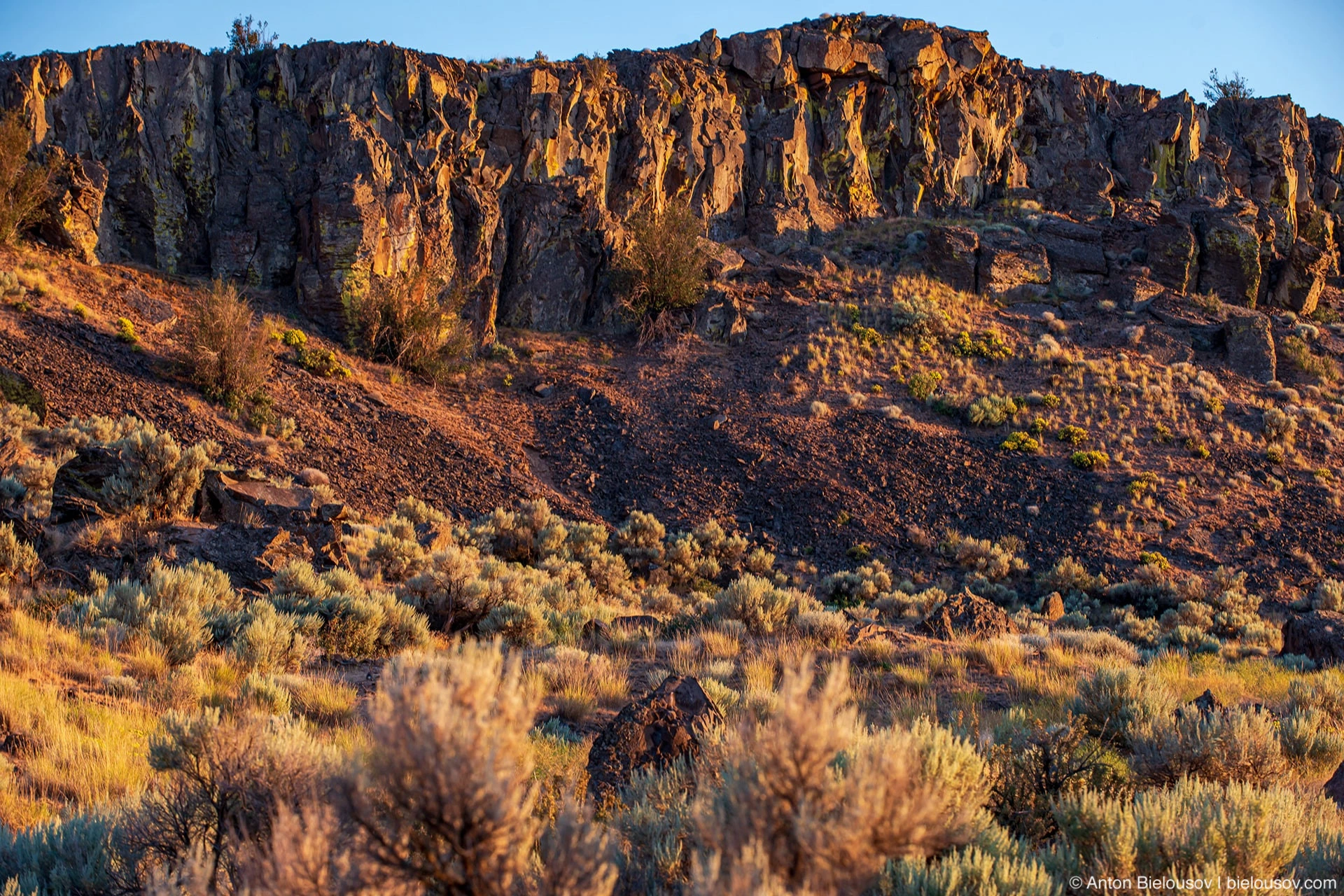
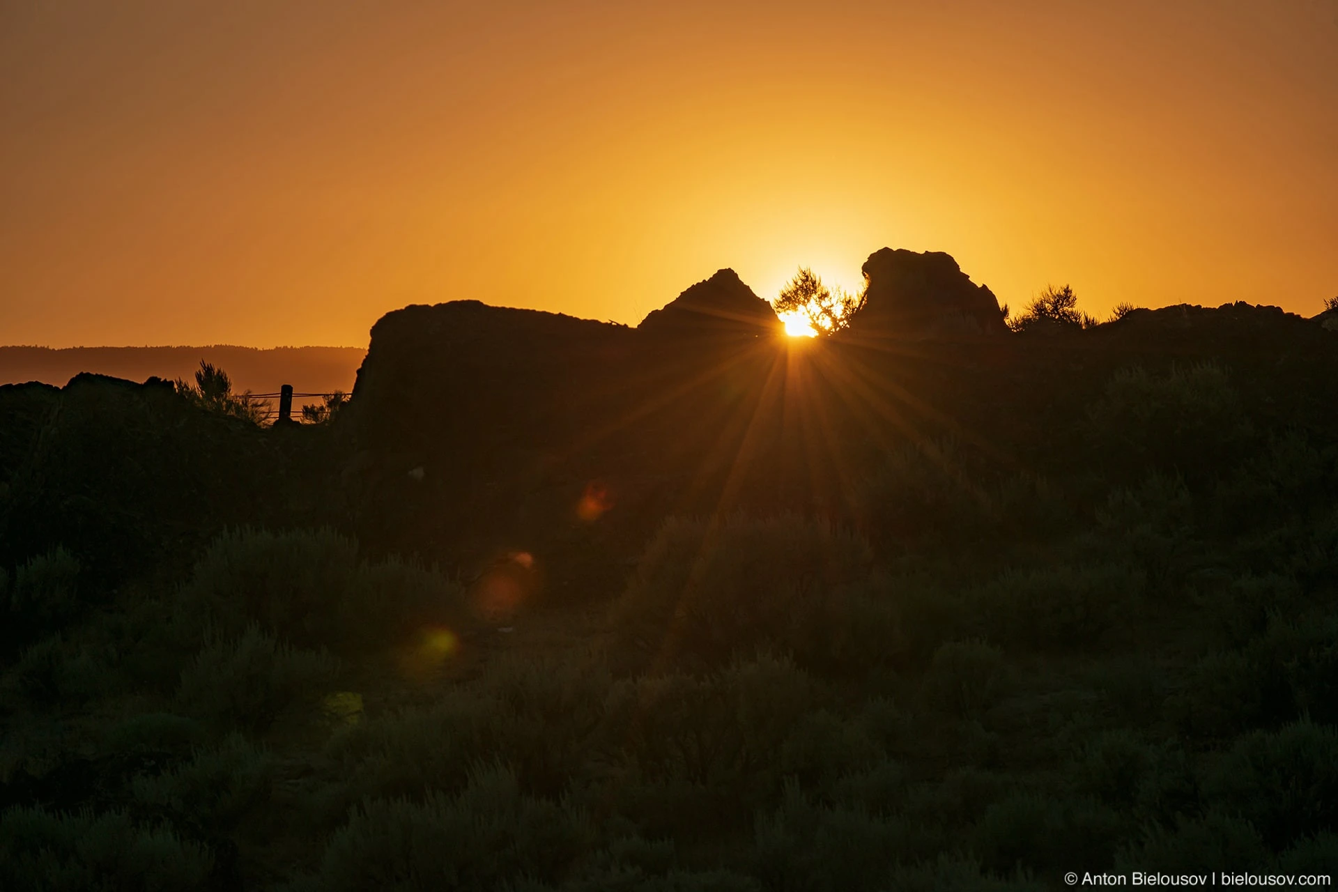
We go to sleep under the starry sky, to the songs of cicadas.
Ginkgo Petrified Forest
When I was planning the route and it turned out that the petrified forest of Ginkgo (well, like ginkgo biloba), it became almost a decisive factor in favor of driving accurately. It’s all the more offensive that it turned out that in the Ginkgo Petrified Forest State Park itself we missed everything that could be missed, and all because I marked the place where the petrified trees are really scattered as a camping site (there really is a campsite), and we went for a walk the main trail, and the dog was brought to swim on a nearby beach so that there were fewer people. In a word, we visited everything except what was needed ...
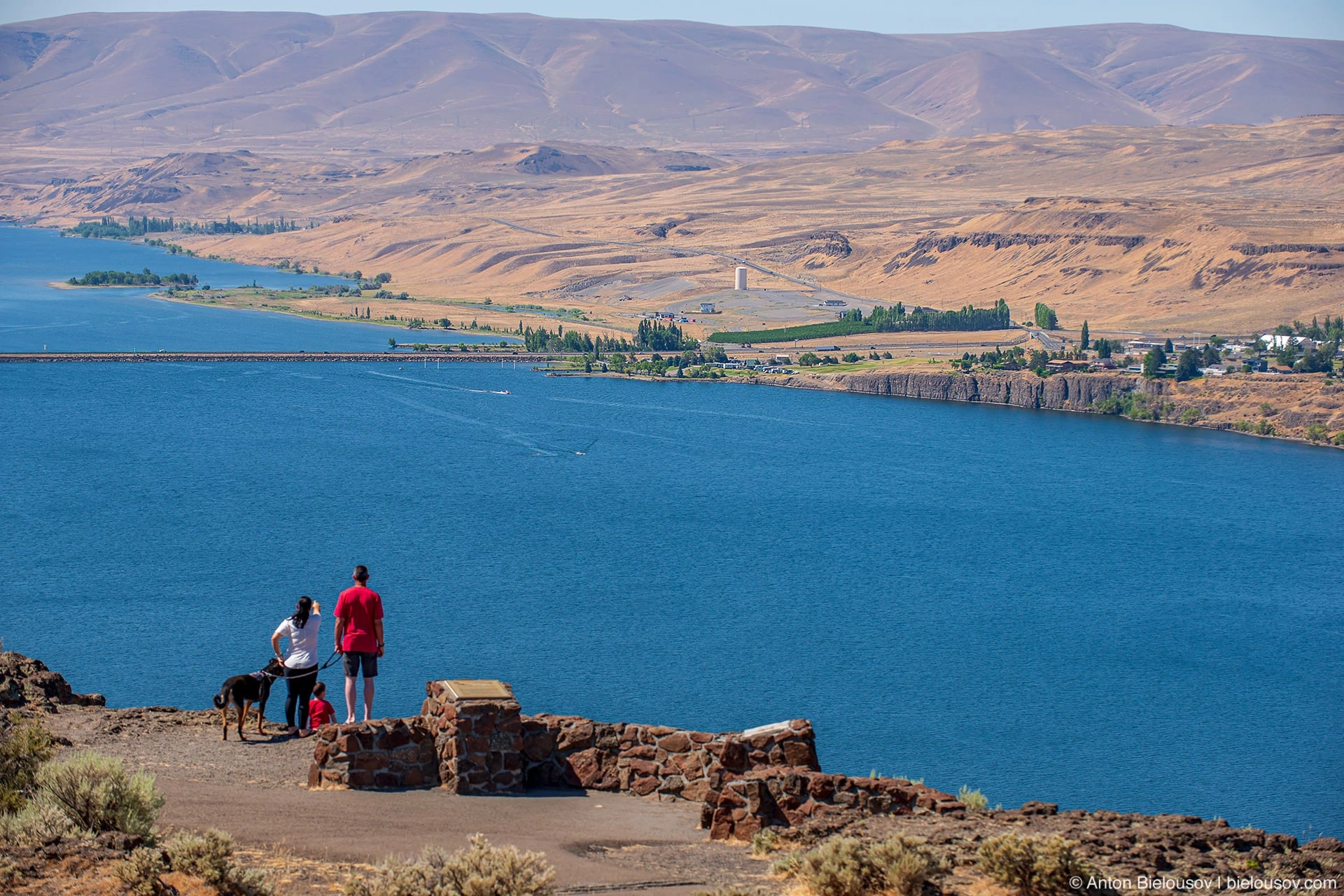
And so it turned out that we never saw all the most interesting petrified trees, although we were only a hundred meters from them.
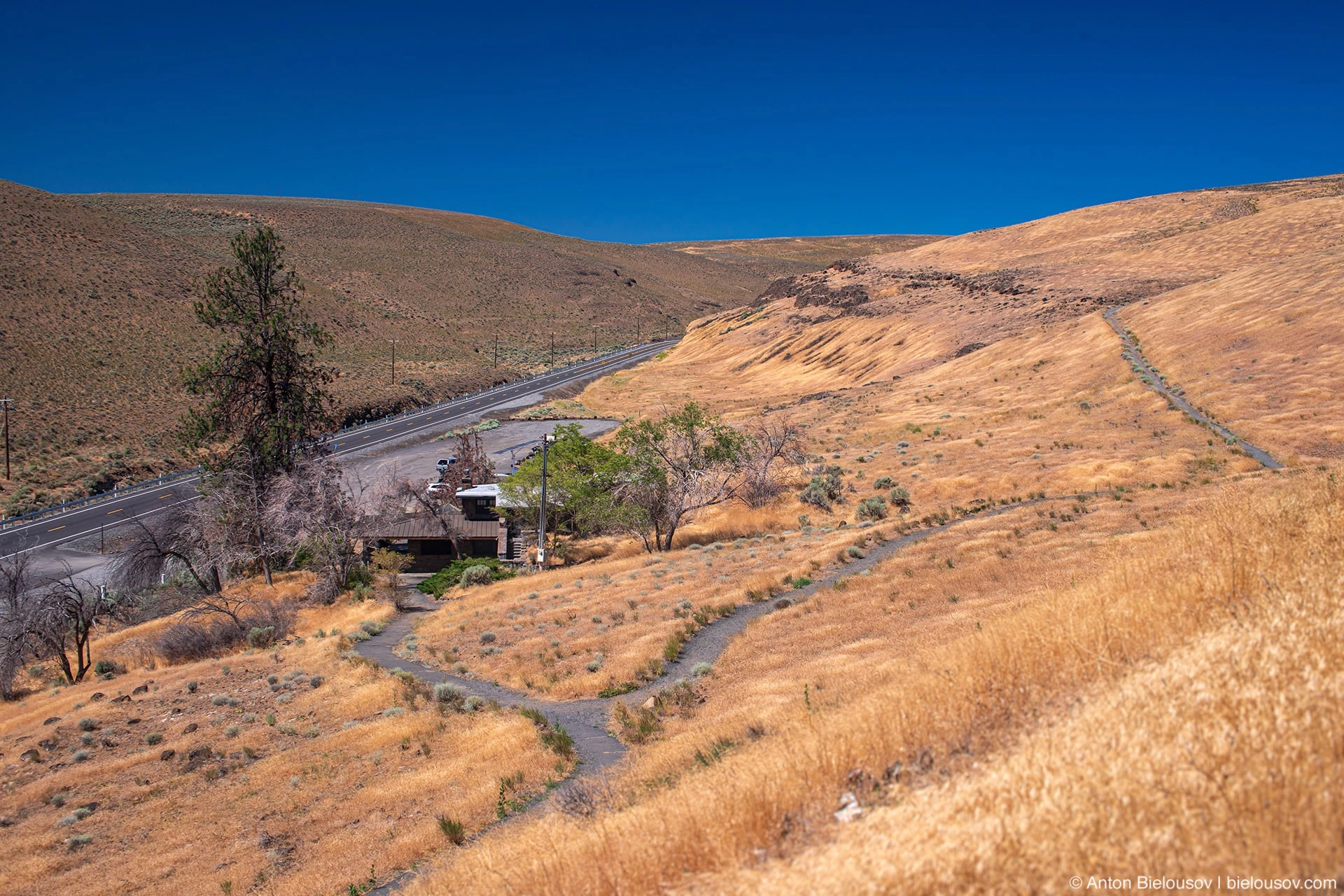
Today, here, in the area of the town of Vantage, everywhere you look, there are only “Ukrainian” steppes all around.
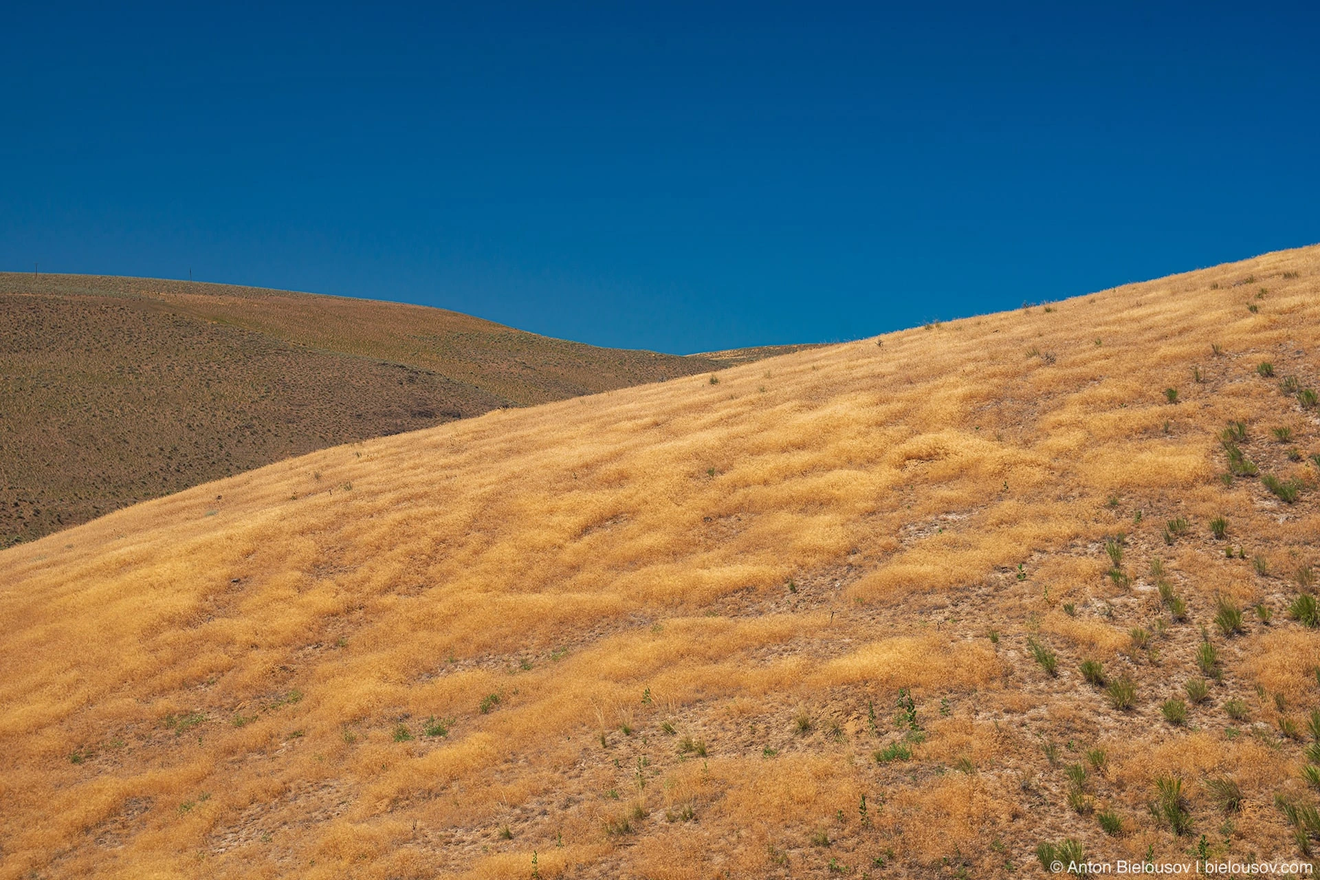
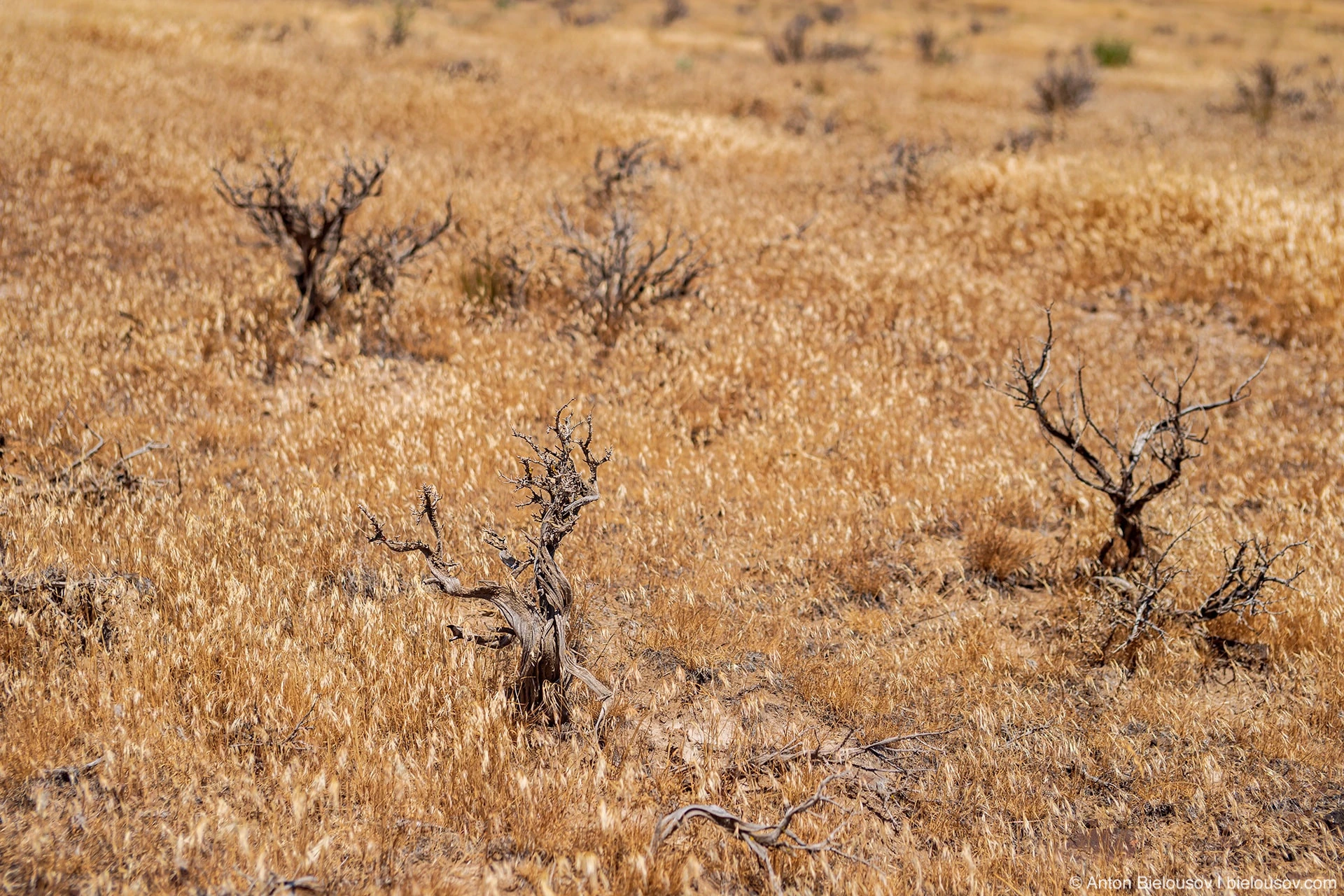
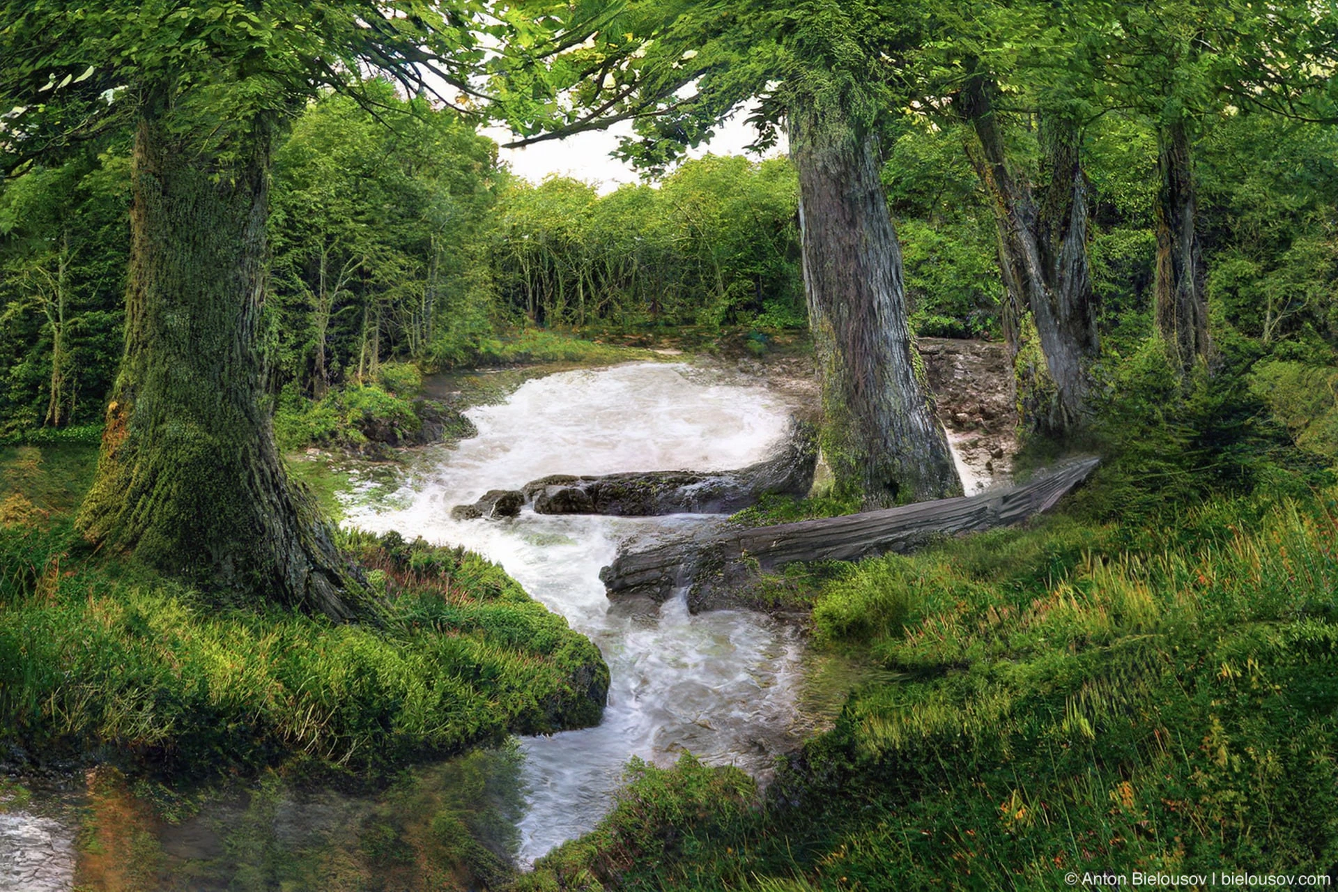
It is hard to imagine that 15-16 million years ago there was a dense forest here (remember at the beginning of the post, there were no Coastal Mountains then). This is how the illustration on the trail looks like, passed through the neural filters of Photoshop:
When the lava flows came, they of course burned everything in their path, but some tree trunks, which ended up on the muddy bottom of the mud lake and soaked in water, managed to survive.
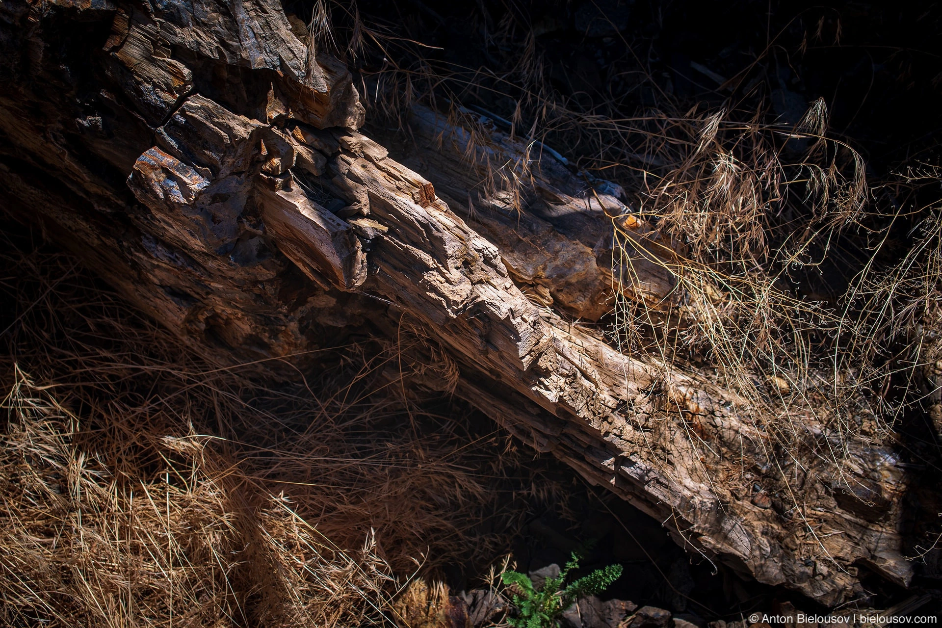
Like, for example, this petrified hazel tree:
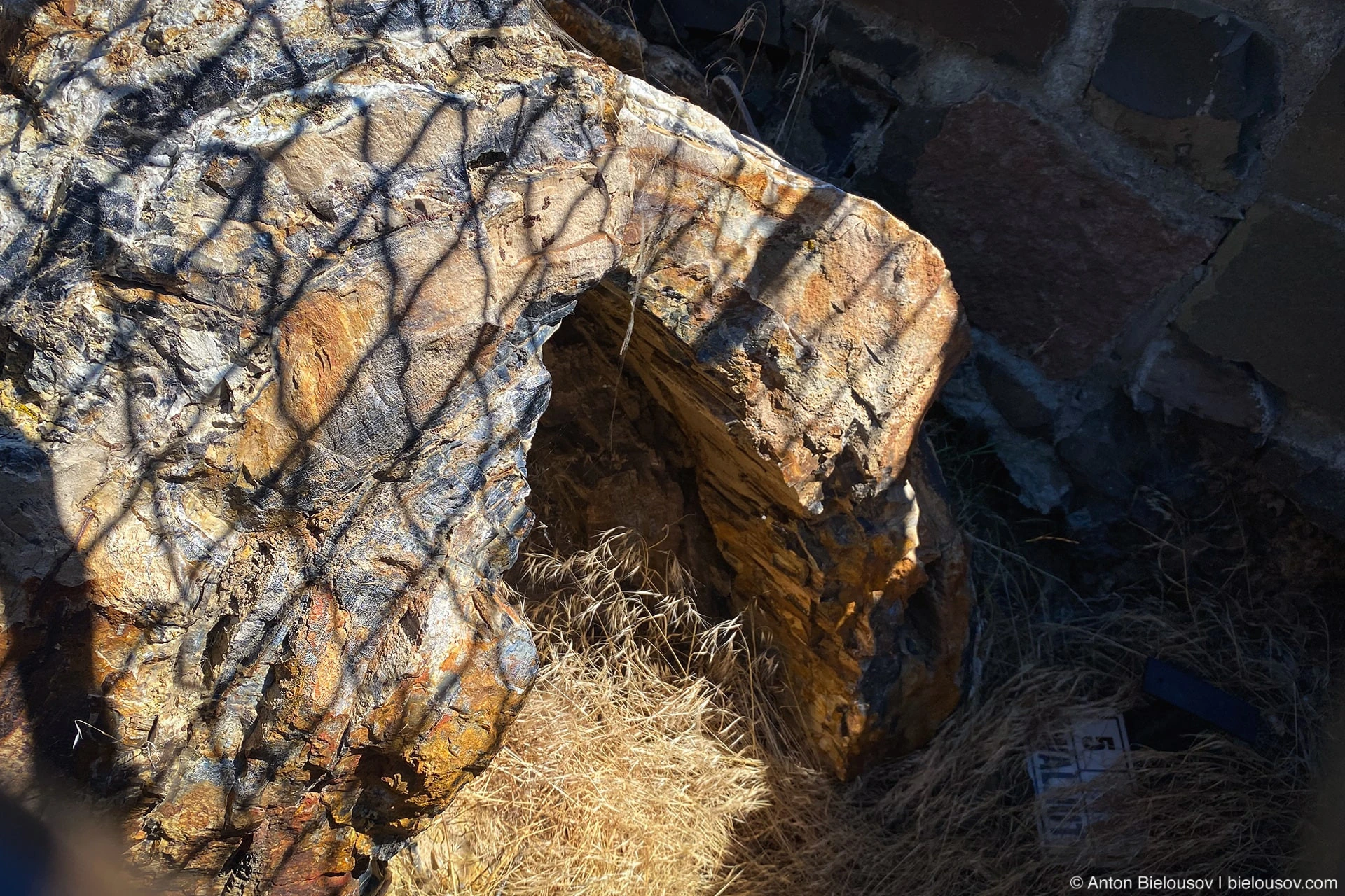
Or this opalised Douglas fir:
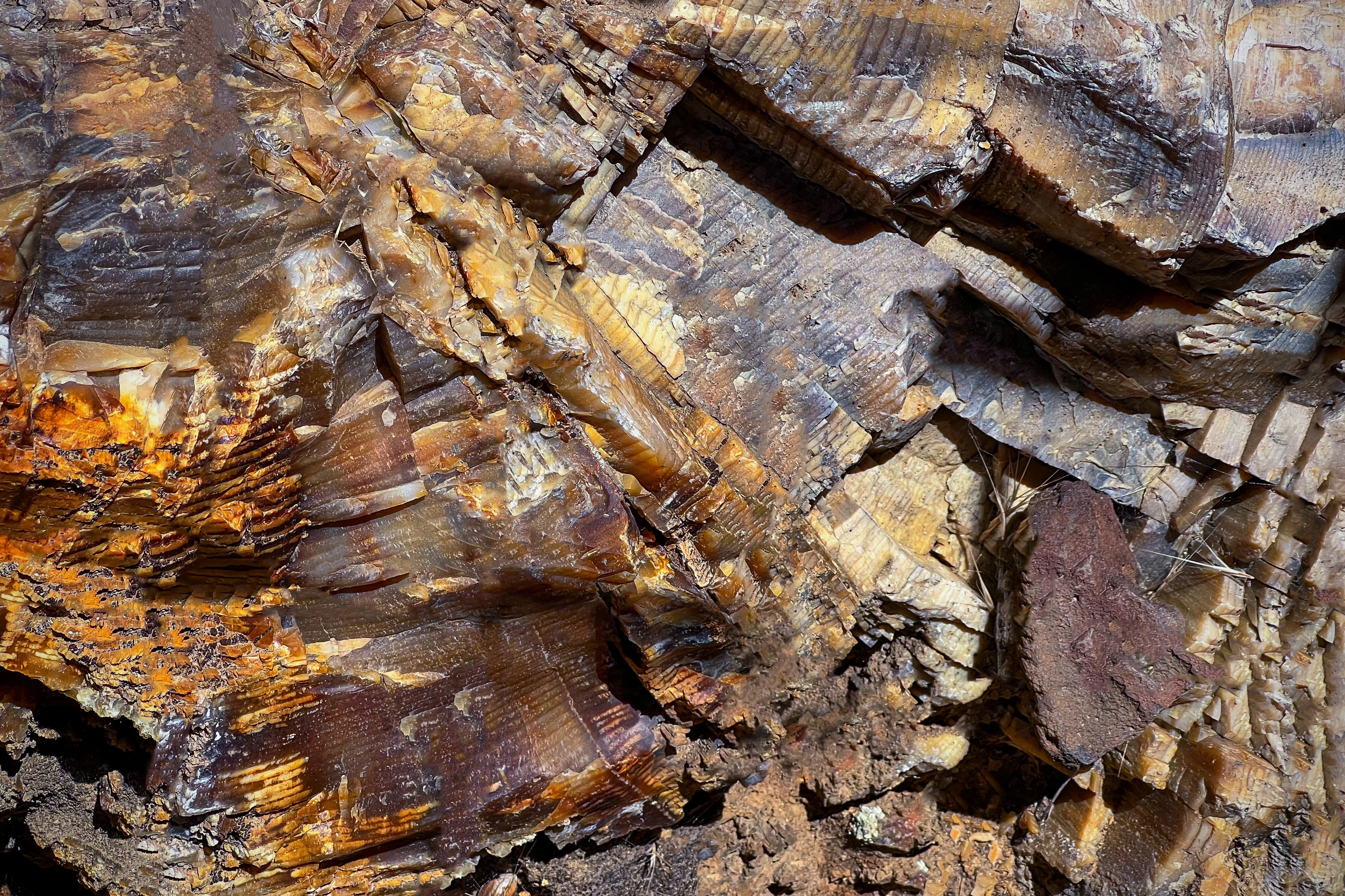
See, the growth rings are 15 million years old? Well, isn't it a paradox?
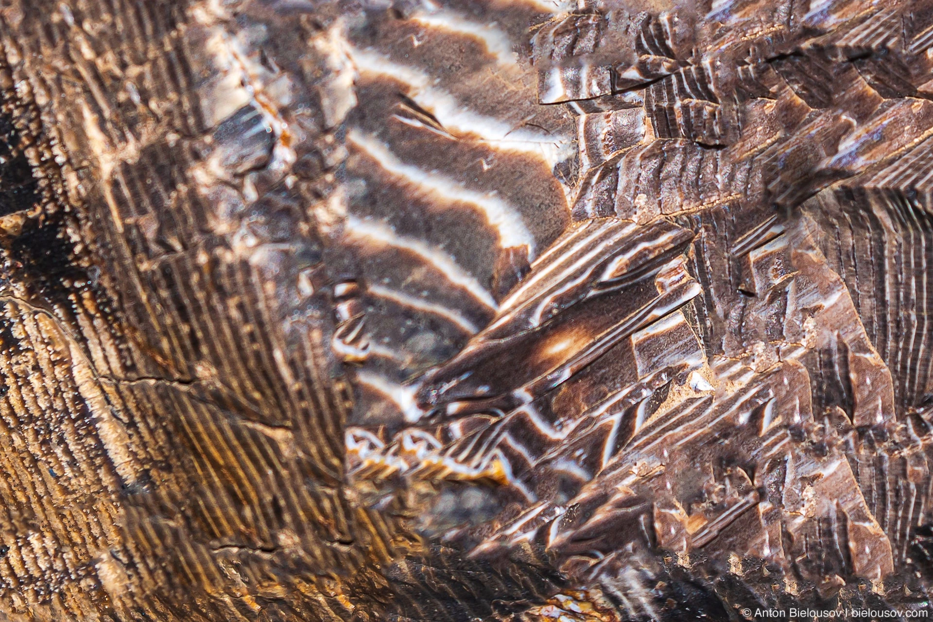
So why were we unlucky and we came to the wrong place, you ask? The fact is that maybe these hazel, fir, spruce, elm and, in fact, ginkgo trees could survive numerous volcanic eruptions, ice ages and floods, but it’s not so easy to survive the planet of the apes.
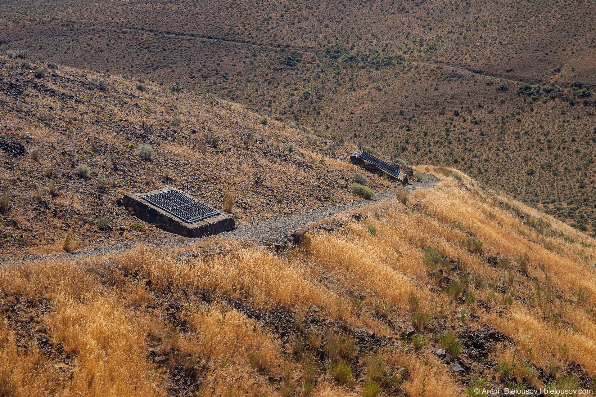
Each of the 22 petrified trees found on the interpretive path is locked in an anti-vandal cage - so that, as they say, no motherfucker takes a piece with him.
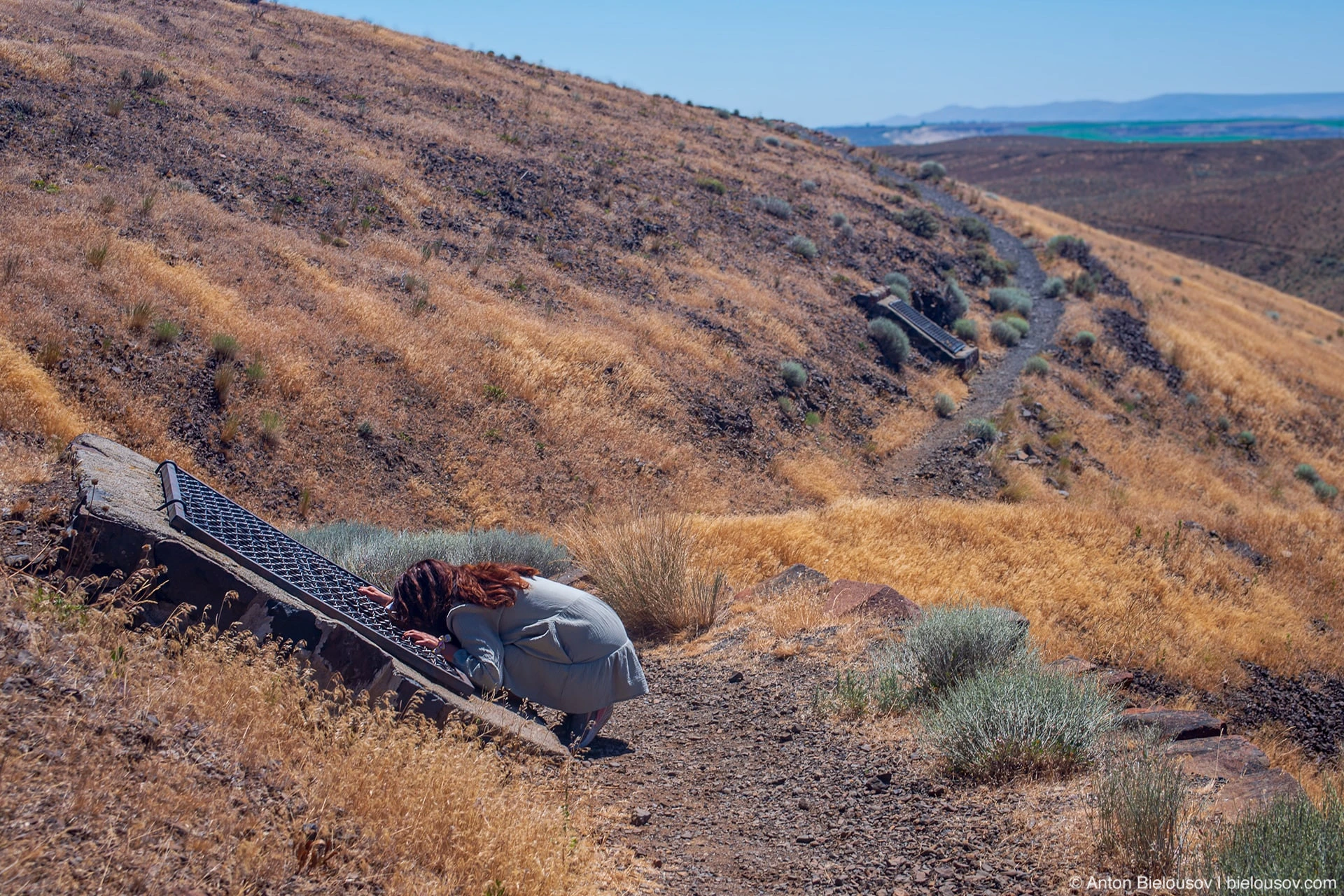
And everything looks like this:
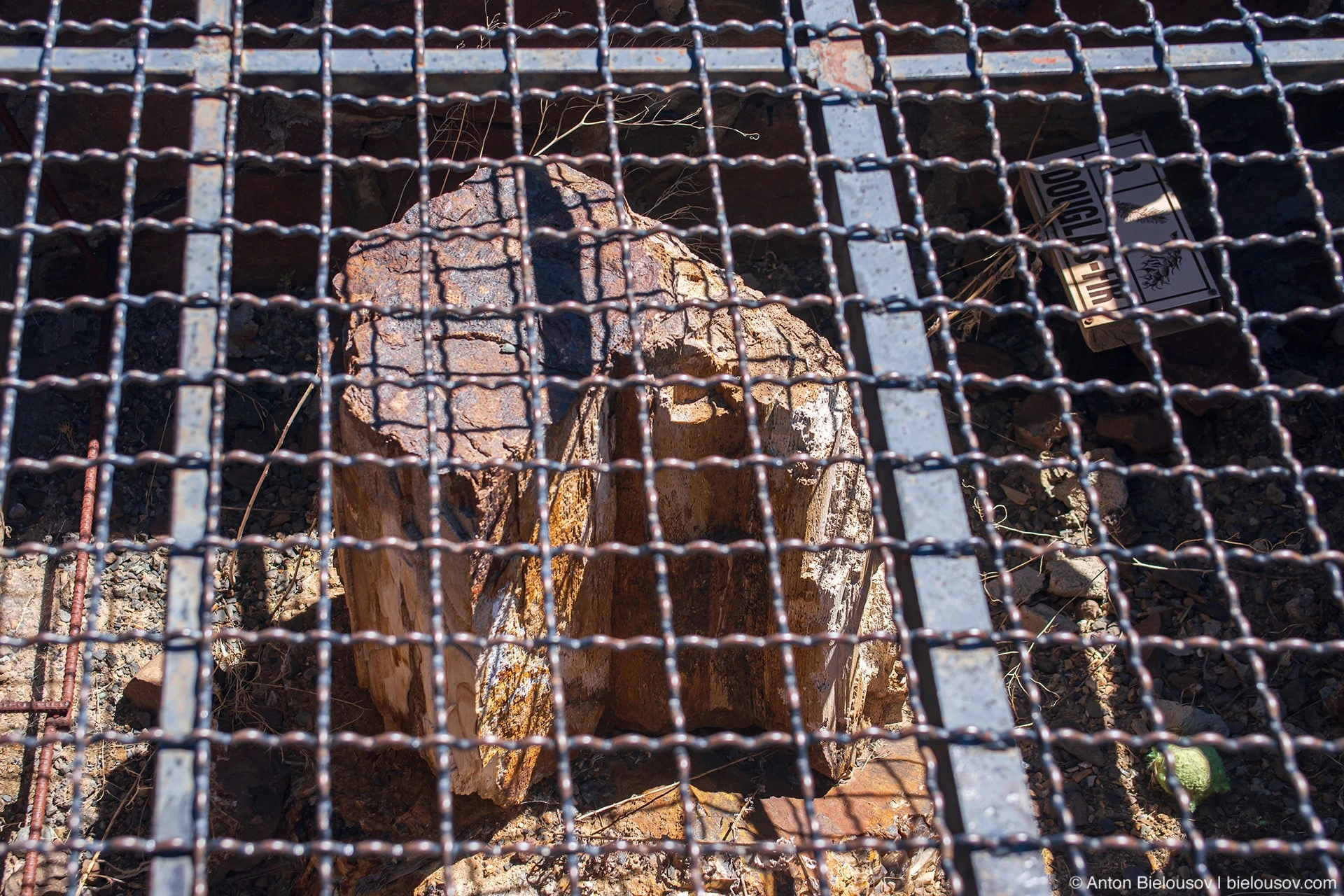
One disappointment. Thank you people for being... like that. I didn’t even go to the farthest red tree, but stupidly flew off.
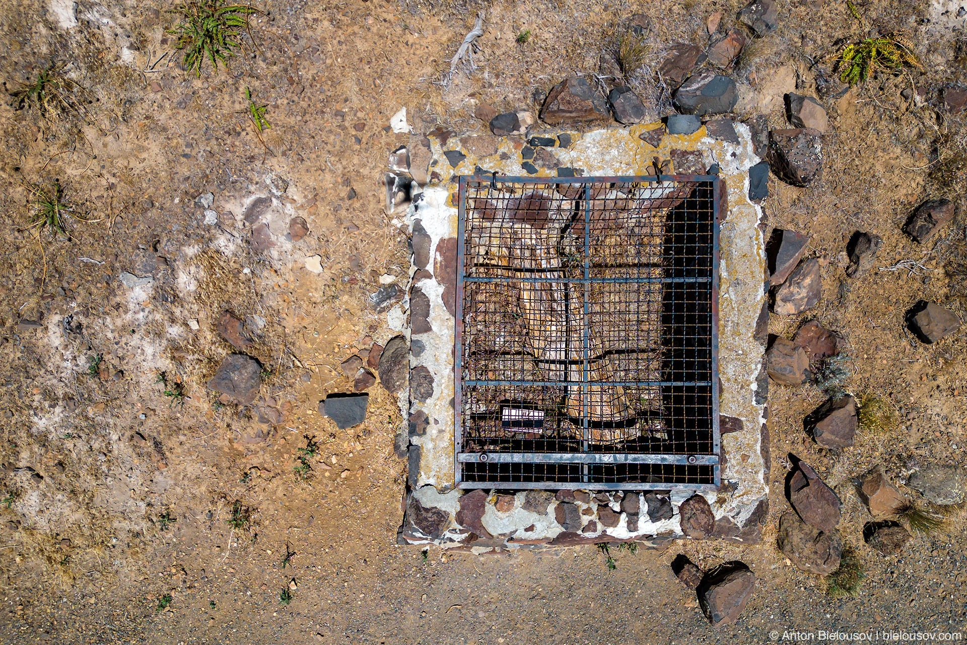
But, as it turned out later, large pieces of petrified trees were right in the parking lot near the information center and near the stone store too (which was closed, so we didn’t go there). There are also petroglyphs of the Huanapu people, which, together with pieces, were cut out and put up here before filling the artificial lake of the same name with water. So the Gestalt was left open. As they say, there is a reason to return. Even these "arrested" petrified trees are best shot on a cloudy day when the trellis does not cast a shadow. Instead of finding all the same petrified trees, we moved south, where tension grew literally with every kilometer.
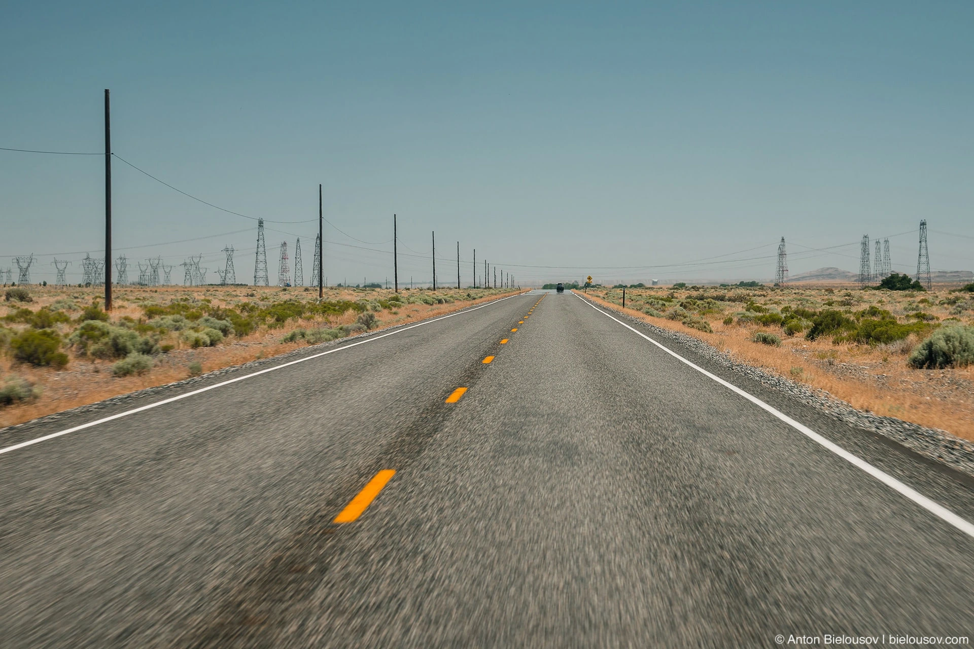
Highway 243 I mean, on the south bank of the Columbia River there is a zone of nuclear reactors, in particular, the 5 first-ever prototype nuclear reactors of the Manhattan Project (today it is the Manhattan Project National Historical Park) - where, among other things, plutonium was produced for the bomb dropped on Nagasaki. There, on the wastelands among the old reactors, there is the LIGO observatory, which records gravitational waves.
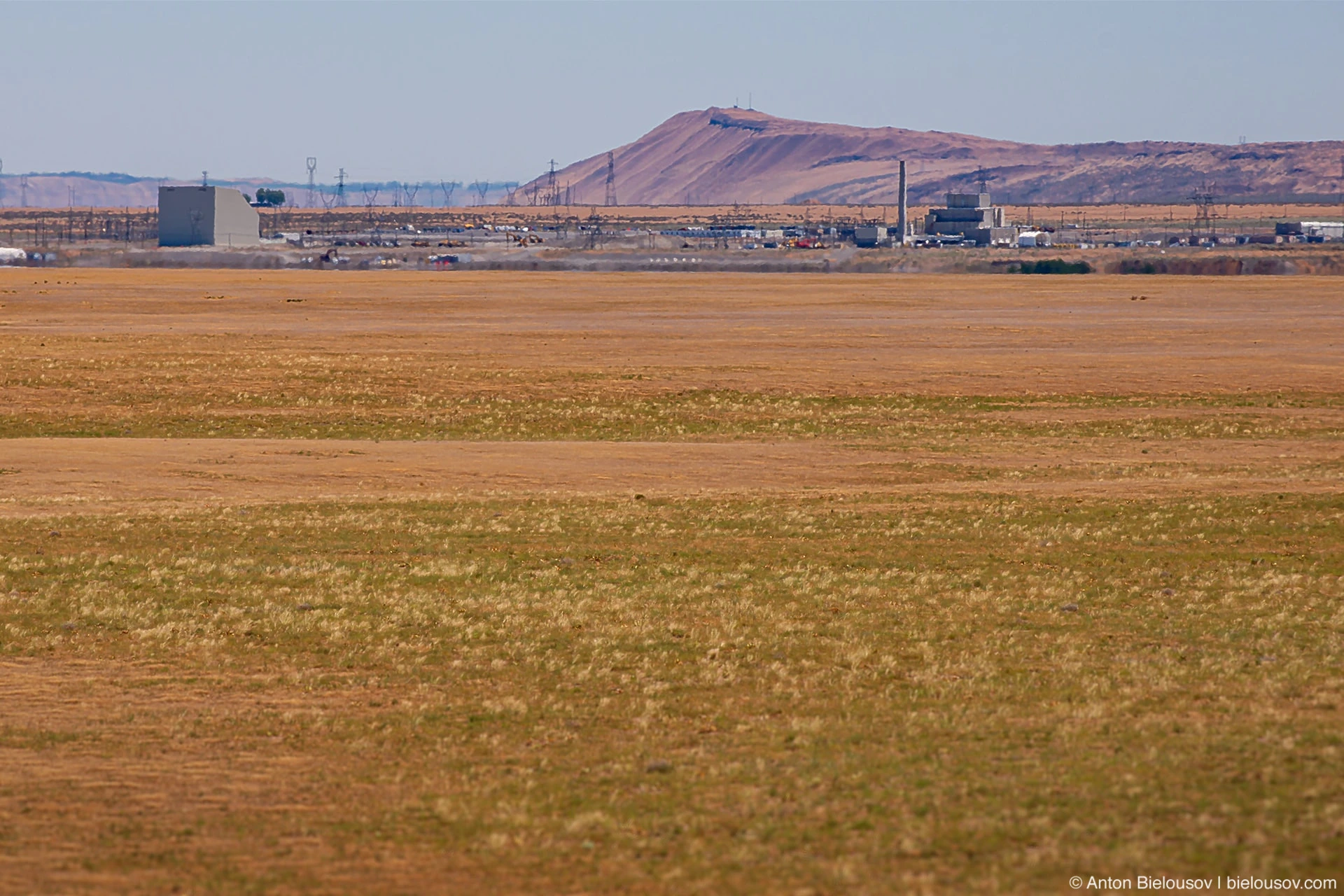
Manhattan Project National Historical Park – B Reactor Unfortunately, everywhere you need to book tours well in advance, so it seems that a new trip has been outlined.
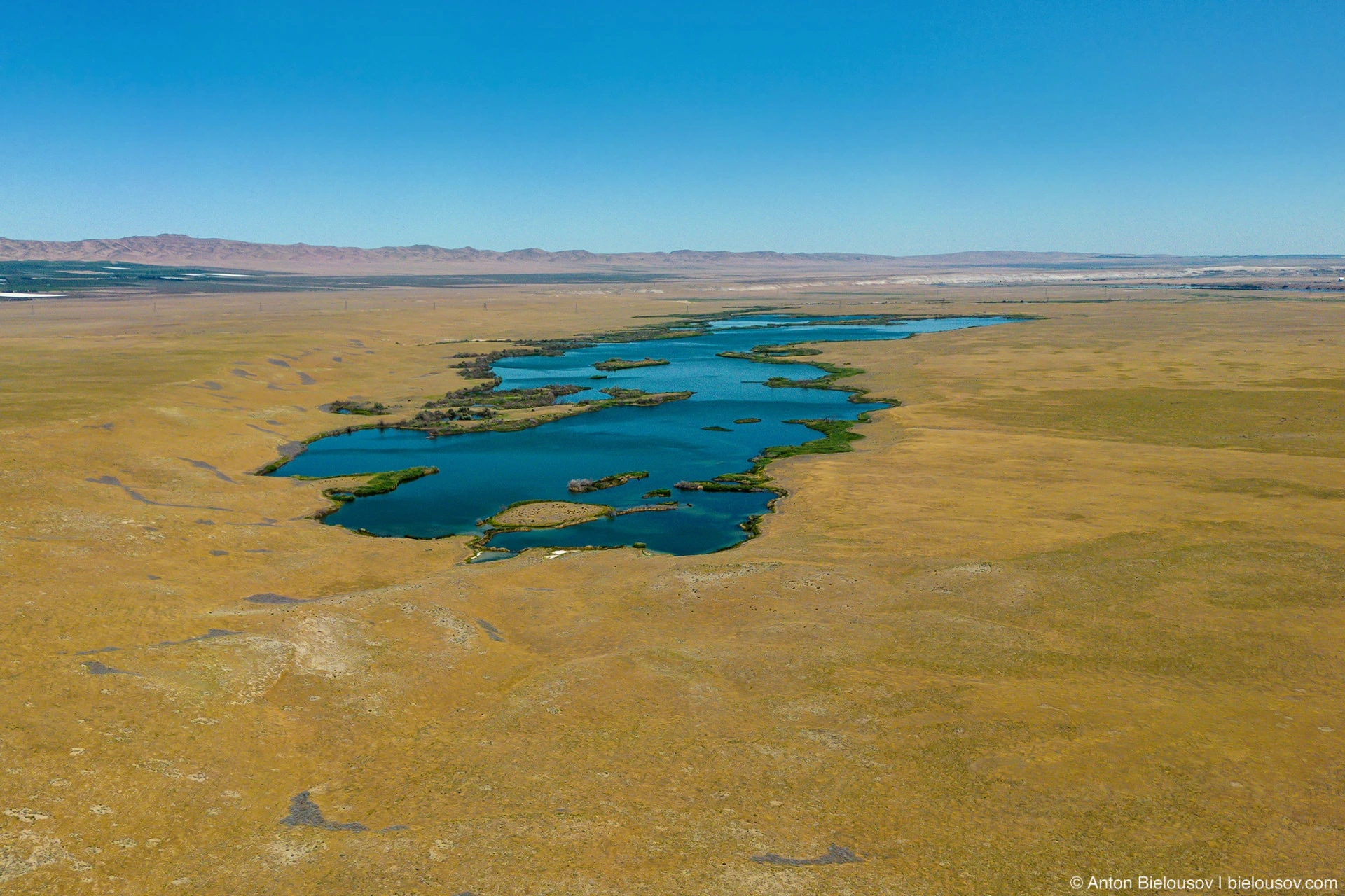
Hanford Reach National Monument
But on the way here, I suddenly found ... the Apollo 11 lunar module. And not a real one, but a tiny house built in its shape, which in my opinion is even cooler. You can see real artifacts of the lunar program at the Seattle Aviation Museum - but this one even has a postal address! 18374 Shore Dr, Beverly, WA 99321, USA
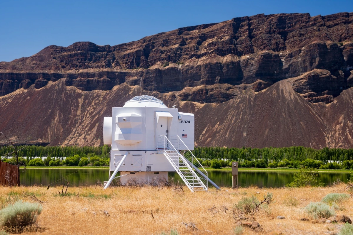
It was built by Seattle-based ship engineer Kurt Hughes, who was unimpressed by the overly simple mobile home designs and as a weekend project, on land bought back in the 60s for $10, seemed to take his breath away. The house was built using the same technologies that catamarans make - in fact, textolite and epoxy. I advise you to watch the video on Kurt's blog - for example, inside on the ceiling above the seats there are soft pillows in case gravity disappears; the sink is made in the form of a telescope mirror - and focuses the sun's rays at one point; and outside on the path are scattered pebbles that glow in the dark. I also hesitated whether or not to call in the town of Grand Coulee (Genad Coulee), known mainly for the fact that here is the largest hydroelectric power plant in the state of Washington (we have already passed a lot of them along the way, they are all so-so sight,
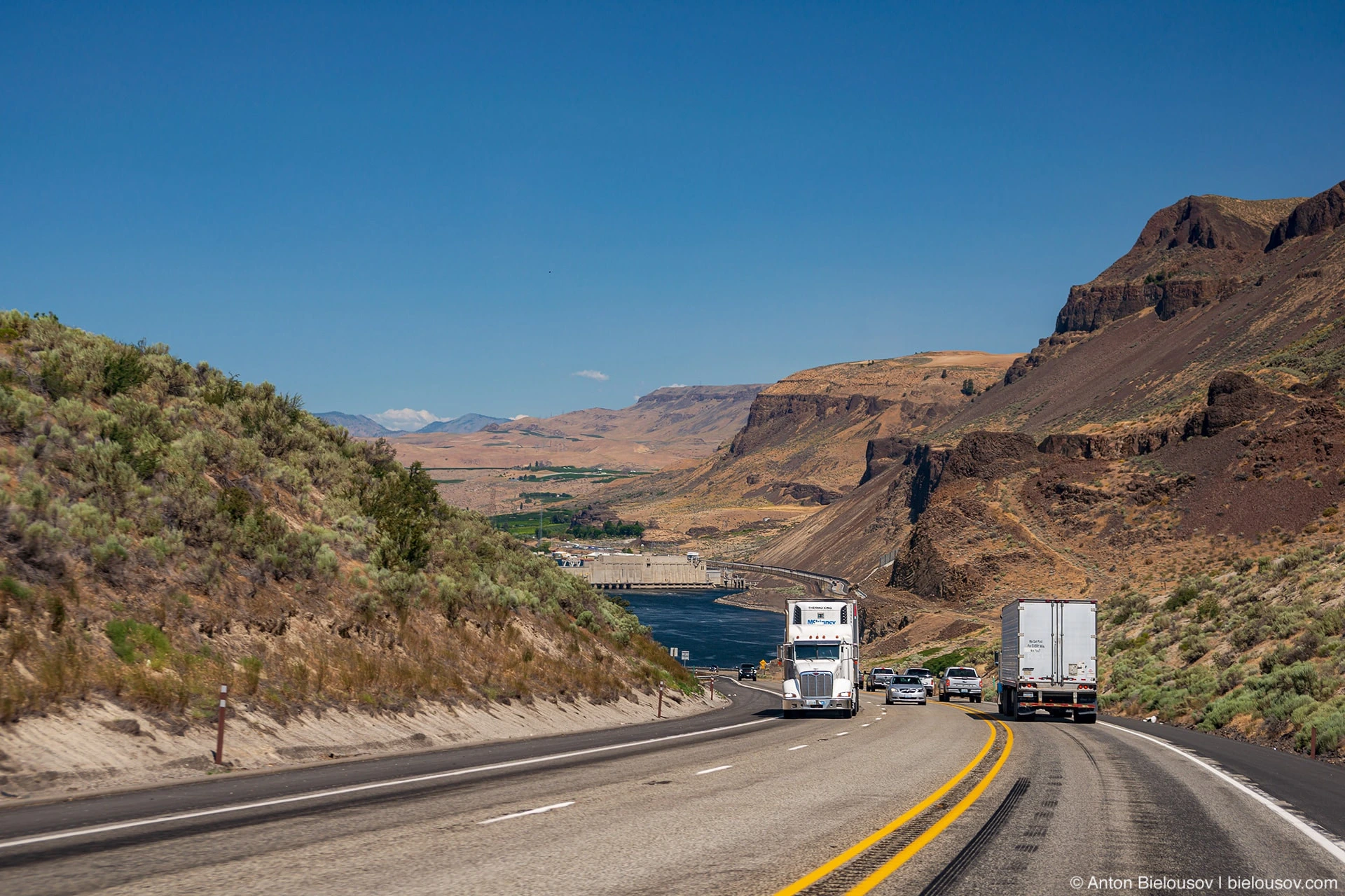
Rock Island Dam But in the light of the recent undermining of the Kakhovskaya hydroelectric power station by the Russian occupation forces in Ukraine, I really wanted to see firsthand the scale of such a structure. The Grand Cooley dam is two times shorter than Kakhovskaya (1,592 m), but with its 168 meters in height, it is already 5 times higher. At the same time, the volume of the reservoir is still one and a half times more in the Kakhovka reservoir ... was. This dam is one of the largest concrete structures in the world - the cement used to build it would have been enough to build a highway from Seattle to Florida, or to build a sidewalk around the equator ... twice!
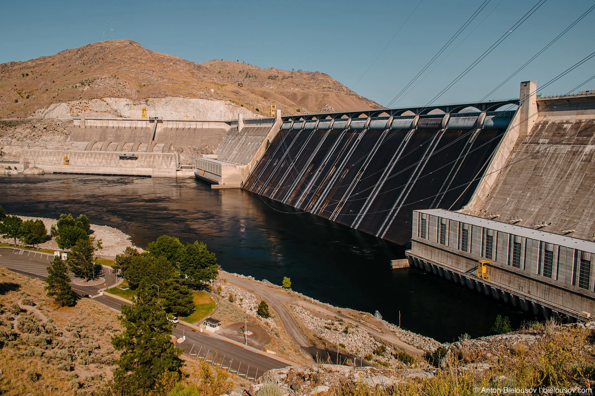
But in terms of the power of generated energy, the station in Grand Cooley exceeds Kakhovskaya by as much as 20 times (with its 33 turbines against 6 in Ukraine) and transmits electricity to 11 states, and exports dashe to Canada. These wires (in the foreground) carry 230,000 volts!
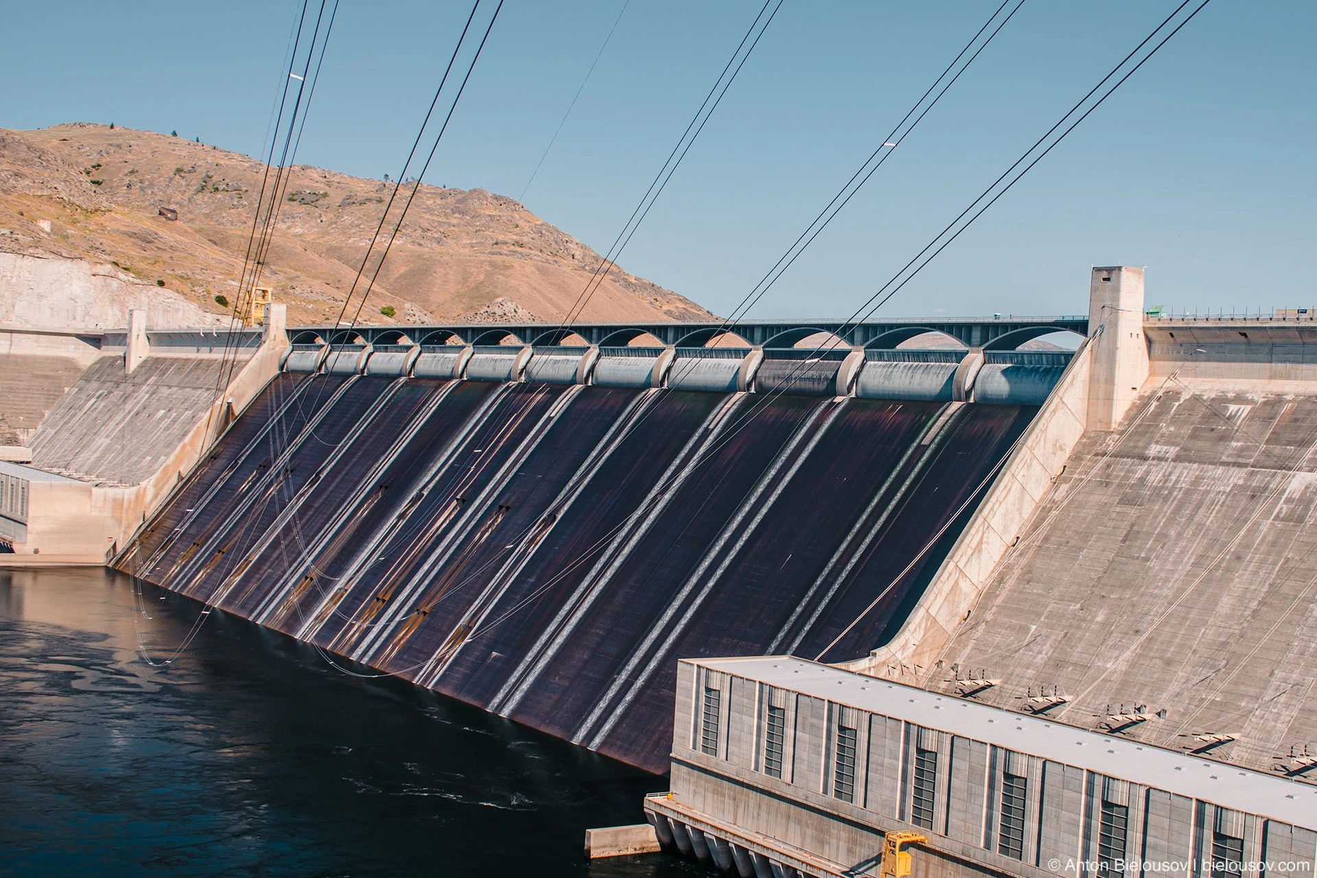
From the moment you enter the city, it’s hard not to understand that this is a strategic facility - there is no flying zone for a drone, the police and security service non-stop patrolling the surrounding areas. But at the same time, on different sides of the dam and at different heights on the slopes, several parks with a beautiful view of it are equipped at once.
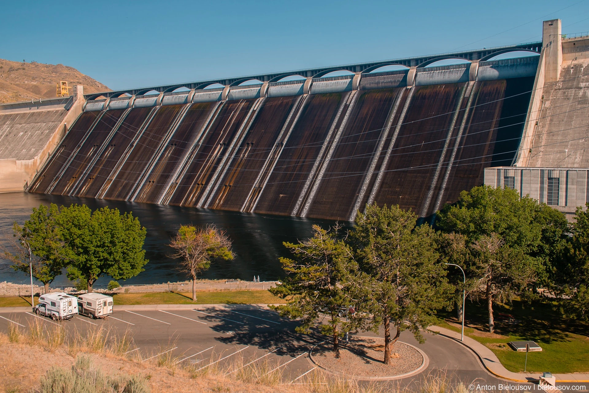
I strongly advise you to look at the dam live if possible - there are even tours to the turbine halls, but what I just remember even more is the spirit of the town of Grand Coulee itself (as I understand it, apart from the workers of the power plant and the infrastructure of the city, few people live there ). These are small houses with well-groomed green lawns (in the middle of the desert), and refreshing shade from the trees, which are shown in films or games like Fallout ... a second before the vigorous apocalypse. In general, for the whole trip, I must admit that the park service of Washington is two heads higher than their Canadian counterparts. Despite all the aridity of the area - green, neatly trimmed lawns, there are gazebos everywhere and not one or two, but more than you might need, so that everyone has enough, many with running water.
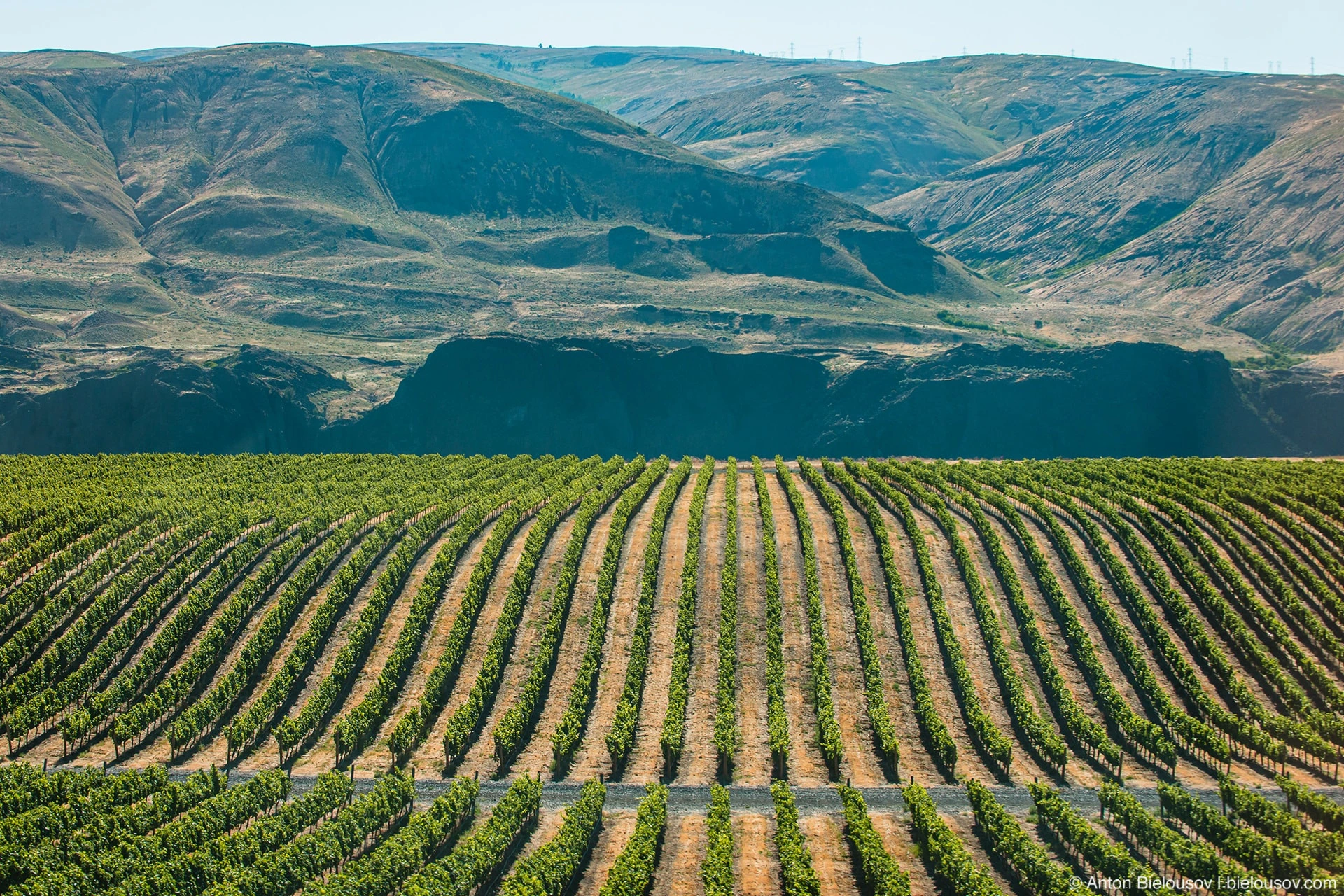
And at the same time, within a quarter of a mile, there was an absolutely gorgeous shady park with an abundance of places. Well, what else to say for Washington? Great itinerary for a long weekend road trip. Who likes to visit wineries - they are also here (on all the hills that were not washed away during the Missoula flood, fertile soil remained).
And I definitely want to go back to Ginkgo and get to the world's first nuclear reactor at Hanford Reach and the LIGO gravitational wave observatory, especially now that I know that there are guided tours.

